


8,8 km | 14,3 km-effort
Accous: Descubra las mejores excursiones: 9 a pie, 26 senderismo y 3 ruta. Todos estos circuitos, recorridos, itinerarios y actividades al aire libre están disponibles en nuestras aplicaciones SityTrail para smartphone y tablet.
Senderismo


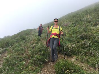
A pie
• Trail created by Commune d'Accous. Randonnée très facile 1h30 semi-boucle Symbol: bar Sitio web: https://umap.ope...

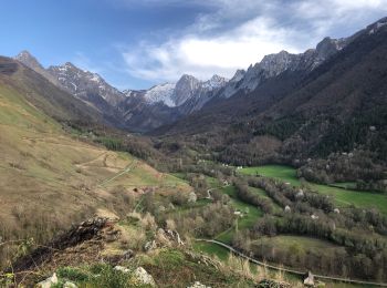
A pie
• Trail created by Communauté de Communes du Haut-Béarn. Randonnée moyenne 4h15 semi-boucle Symbol: bar Sitio web: ...
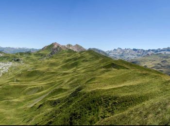
A pie
• Trail created by Communauté de Communes du Haut-Béarn. Randonnée facile 3h10 aller-retour Symbol: bar Sitio web: ...
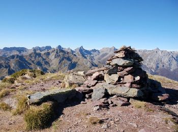
A pie
• Trail created by Communauté de Communes du Haut-Béarn. pente moyenne 22% aller simple Symbol: bar Sitio web: http...
Senderismo

A pie
• Trail created by Communauté de Communes du Haut-Béarn - PLR de la Vallée d'Aspe / Parc National des Pyrénées. Randon...
A pie
• Trail created by Communauté de Communes du Haut-Béarn - PLR de la Vallée d'Aspe / Communauté de communes de la Vallée...
A pie
• Trail created by Parc National des Pyrénées. Symbol: bar Sitio web: https://umap.openstreetmap.fr/fr/map/refonte-p...
A pie
• Trail created by Communauté de Communes du Haut-Béarn - PLR de la Vallée d'Aspe / Communauté de communes de la Vallée...
A pie
• Trail created by Communauté de Communes du Haut-Béarn - Parc National des Pyrénées & Parque Natural de los Valles Occ...
Ruta
Senderismo
Senderismo
Senderismo
Senderismo
Senderismo

Senderismo
• Tour du Pouey, Orcun retour par Jouers
Senderismo
Senderismo
20 excursiones mostradas en 38
Aplicación GPS de excursión GRATIS
 SityTrail
IGN / Institutos geográficos
SityTrail World
El mundo es suyo