


16,8 km | 26 km-effort
Arette: Descubra las mejores excursiones: 6 a pie, 22 senderismo y 1 marcha nórdica. Todos estos circuitos, recorridos, itinerarios y actividades al aire libre están disponibles en nuestras aplicaciones SityTrail para smartphone y tablet.
Senderismo


Senderismo
Senderismo
Senderismo

A pie
A pie
A pie
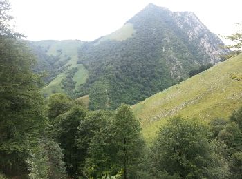
• LPSM "la tête sauvage" super balade faite avec 17 LPC reco en vue de la journée des animateurs du 21 Octobre 2018. a ...
Senderismo
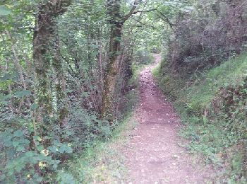
• chemin
Senderismo
Senderismo

Senderismo
A pie
A pie
Senderismo
Senderismo
• Ski rando
Senderismo
Senderismo
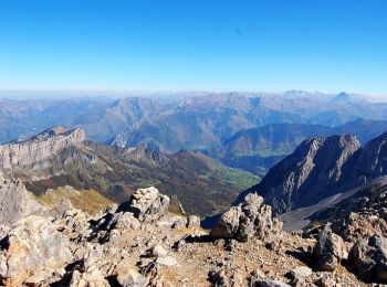
• Dernière partie de la rando à éviter car non balisée et dangereuse (au niveau de Arre du Soum Couy) Suivre plutôt iti...
Senderismo
• La Pierre St Martin / Camping de Lauzart
Senderismo
• Jusqu à l arrivée du telesiege
Senderismo
20 excursiones mostradas en 29
Aplicación GPS de excursión GRATIS
 SityTrail
IGN / Institutos geográficos
SityTrail World
El mundo es suyo