


7 km | 8,7 km-effort
Montaner: Descubra las mejores excursiones: 3 a pie, 16 senderismo y 5 marcha nórdica. Todos estos circuitos, recorridos, itinerarios y actividades al aire libre están disponibles en nuestras aplicaciones SityTrail para smartphone y tablet.
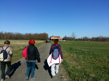
A pie


A pie
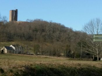
Senderismo
Senderismo
Senderismo

Senderismo
Senderismo
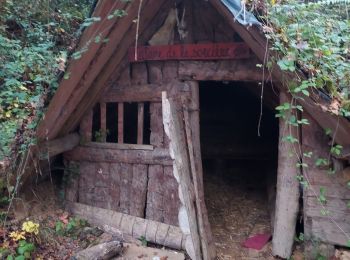
• Rando à faire de préférence en été par forte chaleur pour son parcours essentiellement en forêt. A voir l'Oppidum, la...
Senderismo
• Rando à faire de préférence en été pour son parcours essentiellement en forêt. A voir l'Oppidum, la table d'orientati...

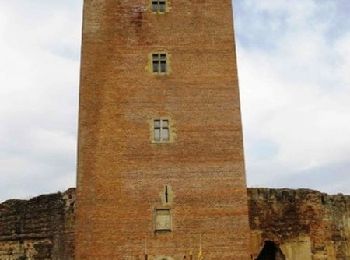
A pie
Senderismo
Senderismo
Senderismo
Senderismo
Senderismo
Senderismo
Marcha nórdica
Marcha nórdica
Senderismo
Marcha nórdica
Marcha nórdica
20 excursiones mostradas en 23
Aplicación GPS de excursión GRATIS
 SityTrail
IGN / Institutos geográficos
SityTrail World
El mundo es suyo