


6,3 km | 9,2 km-effort
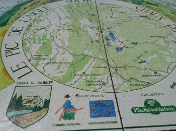
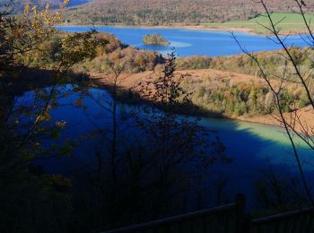
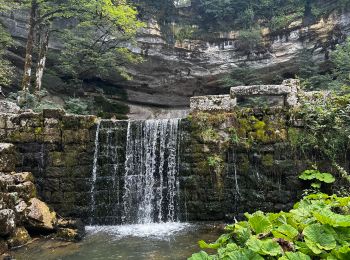
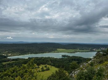
La Chaux-du-Dombief: Descubra las mejores excursiones: 6 a pie, 86 senderismo y 1 marcha nórdica. Todos estos circuitos, recorridos, itinerarios y actividades al aire libre están disponibles en nuestras aplicaciones SityTrail para smartphone y tablet.

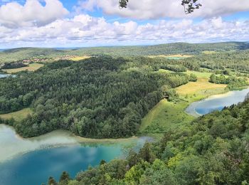
Senderismo


•
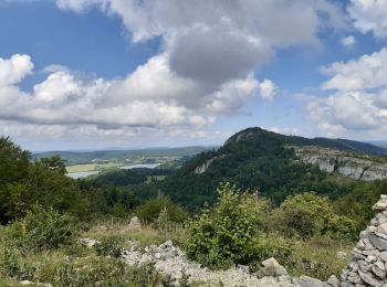
Senderismo

Senderismo

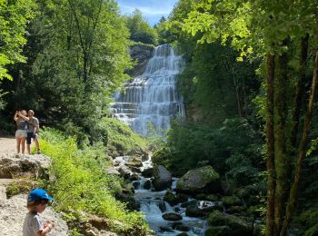
Senderismo
Senderismo
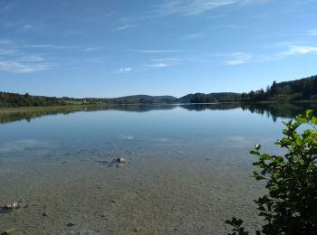
Senderismo
Senderismo
• Quelques passage un peu serré par forte fréquentation! Prévoir des bonnes chaussures
Senderismo
Senderismo
Senderismo
Senderismo
Senderismo
Senderismo
Senderismo

Senderismo
Senderismo
Senderismo
Senderismo
Senderismo
Senderismo
20 excursiones mostradas en 93
Aplicación GPS de excursión GRATIS
 SityTrail
IGN / Institutos geográficos
SityTrail World
El mundo es suyo