


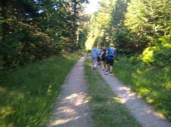
19,7 km | 30 km-effort
Plancher-les-Mines: Descubra las mejores excursiones: 33 senderismo, 1 carrera, 1 marcha nórdica, 1 ruta y 6 a pie. Todos estos circuitos, recorridos, itinerarios y actividades al aire libre están disponibles en nuestras aplicaciones SityTrail para smartphone y tablet.
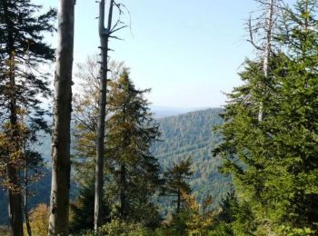
Senderismo


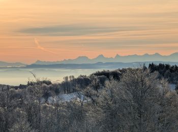
Senderismo
Senderismo
Senderismo
Senderismo
Senderismo
Senderismo
Senderismo
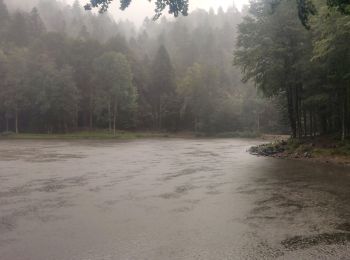
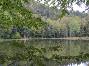
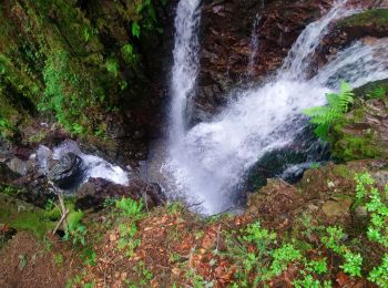
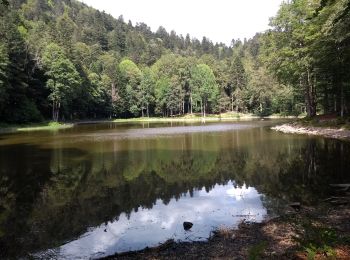
• Randonnée permettant de visiter les romantiques étangs du Ballon d'Alsace depuis la Planche des Belles Filles.
Senderismo
Senderismo
Senderismo
Marcha nórdica

A pie
Senderismo
Senderismo

Senderismo
Senderismo
Senderismo
• moyenne
Senderismo
• plancher les mines, col d'auxelles, auxelles haut, col du querty, chauveroche, étang des belles filles, tête carré, G...

Carrera
• Facile
20 excursiones mostradas en 42
Aplicación GPS de excursión GRATIS
 SityTrail
IGN / Institutos geográficos
SityTrail World
El mundo es suyo