


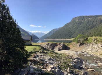
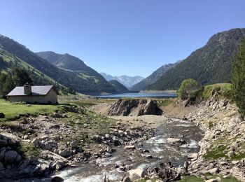
11,6 km | 28 km-effort
Aragnouet: Descubra las mejores excursiones: 14 a pie, 159 senderismo, 2 marcha nórdica, 2 carrera y 1 ruta. Todos estos circuitos, recorridos, itinerarios y actividades al aire libre están disponibles en nuestras aplicaciones SityTrail para smartphone y tablet.
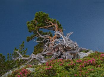
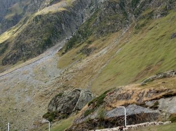
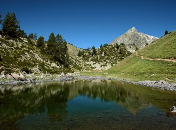
Senderismo


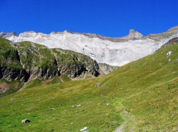
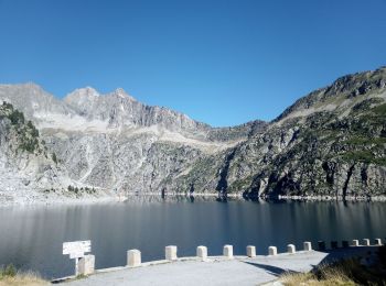
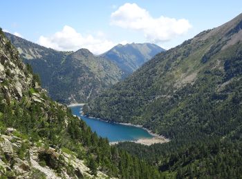
Senderismo
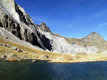
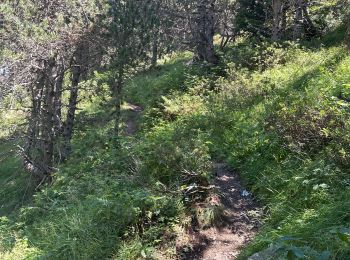
Senderismo

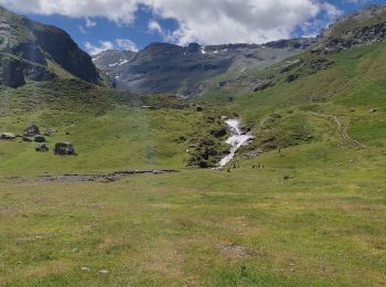
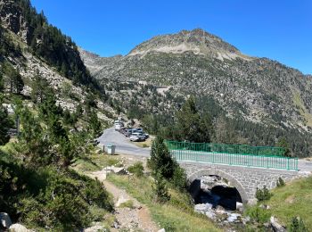
Senderismo
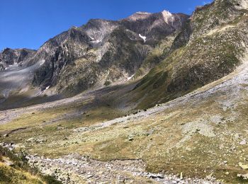
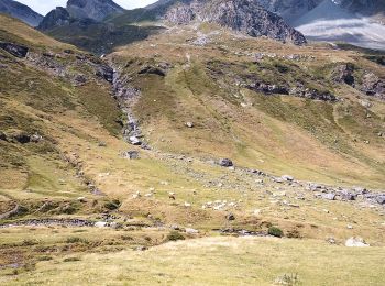
• Hourquettes de Héas et de Chermentas en boucle depuis Piau Engaly. Partir rive gauche de la neste de Géla. Après la ...
Senderismo
Senderismo
Senderismo
Senderismo
Senderismo
Senderismo
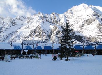
A pie
A pie
A pie
Senderismo
Senderismo
Senderismo
Marcha nórdica
Senderismo
Senderismo
Senderismo
20 excursiones mostradas en 178
Aplicación GPS de excursión GRATIS
 SityTrail
IGN / Institutos geográficos
SityTrail World
El mundo es suyo