


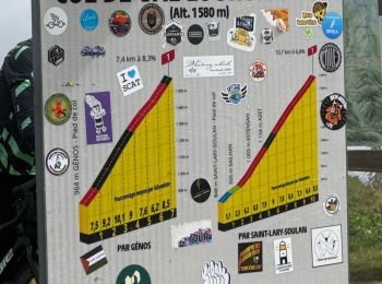
6,4 km | 9,2 km-effort
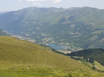
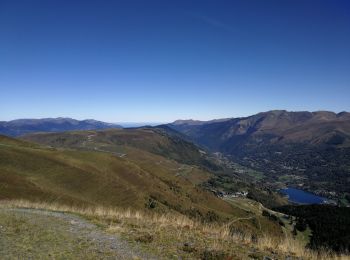
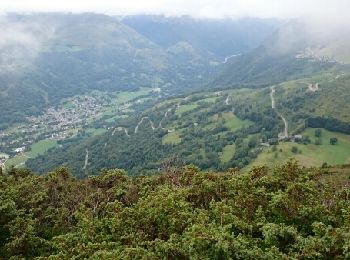
Azet: Descubra las mejores excursiones: 1 a pie y 30 senderismo. Todos estos circuitos, recorridos, itinerarios y actividades al aire libre están disponibles en nuestras aplicaciones SityTrail para smartphone y tablet.
Senderismo


•

Senderismo
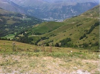
• Entre Aure et Louron Randonnée proposée par les sentiers d'Émilie
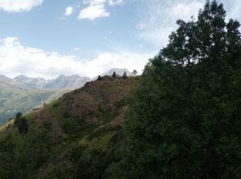
Senderismo
Senderismo
Senderismo
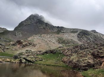
Senderismo
Senderismo
Senderismo
• G4 Marche douce vendredi
Senderismo
• G4 Marche douce vendredi
Senderismo
• G4 Marche douce vendredi
Senderismo
Senderismo
Senderismo
Senderismo
Senderismo
Senderismo
Senderismo
Senderismo

A pie
Senderismo
20 excursiones mostradas en 31
Aplicación GPS de excursión GRATIS
 SityTrail
IGN / Institutos geográficos
SityTrail World
El mundo es suyo