


9 km | 11 km-effort
Bertholène: Descubra las mejores excursiones: 5 senderismo y 1 carrera. Todos estos circuitos, recorridos, itinerarios y actividades al aire libre están disponibles en nuestras aplicaciones SityTrail para smartphone y tablet.
Senderismo


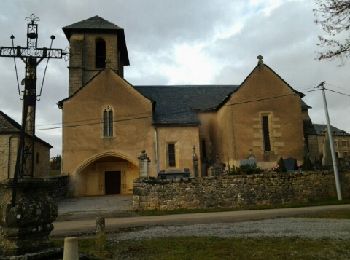
• départ d'Anglars

Senderismo
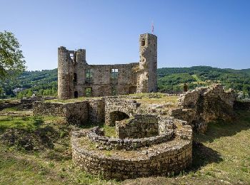
• depart Anglais
Senderismo

Carrera
• 12 avril 2014 Ultra Trans Aubrac 105km (en solo ou en relais par 4) - 7ème édition - et Trail du Capuchadou 50km - 4è...

Senderismo
Senderismo
6 excursiones mostradas en 6
Aplicación GPS de excursión GRATIS
 SityTrail
IGN / Institutos geográficos
SityTrail World
El mundo es suyo