Saint-Côme-d'Olt, Aveyron, A pie: Los mejores itinerarios de excursión, recorridos, paseos y sendas

3 comentarios

Saint-Côme-d'Olt: Descubra las mejores excursiones: 5 a pie y 51 senderismo. Todos estos circuitos, recorridos, itinerarios y actividades al aire libre están disponibles en nuestras aplicaciones SityTrail para smartphone y tablet.


Los mejores recorridos (56)

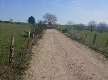
Excursión Senderismo Saint-Côme-d'Olt - étape st Jacques st come sur d olt-estaing - Photo
Senderismo 24.724
Km

Senderismo

Medio
Saint-Côme-d'Olt, Occitania, Aveyron, France
25 km | 32 km-effort
5h 54min
550 m
615 m
No
fab0202

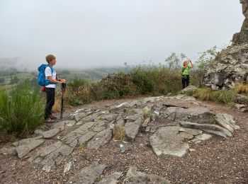
Excursión Senderismo Saint-Côme-d'Olt - saint Come d'Olt Estaing - Photo
Senderismo 14.46
Km

Senderismo

Medio
Saint-Côme-d'Olt, Occitania, Aveyron, France
14,5 km | 20 km-effort
5h 54min
422 m
447 m
No
PhilDomDoxa

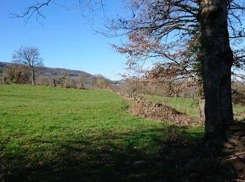
Excursión Senderismo Saint-Côme-d'Olt - saint Côme d'olt- Estaing - Photo
Senderismo 23.307
Km

Senderismo

Difícil
Saint-Côme-d'Olt, Occitania, Aveyron, France
23 km | 31 km-effort
6h 17min
567 m
639 m
No
guariso

Excursión Senderismo Saint-Côme-d'Olt - Saint Côme d'Olt vers Estaing - Photo
Senderismo 20.432
Km

Senderismo

Medio
Saint-Côme-d'Olt, Occitania, Aveyron, France
20 km | 28 km-effort
7h 1min
537 m
591 m
No
choubaka77

• Belle itinéraire avec deux montées bien raides mais pas trop longue !!! Plusieurs possibilités d'arrêt et ravitaillem...

Excursión Senderismo Saint-Côme-d'Olt - Saint Côme - Espalion - Photo
Senderismo 7.108
Km

Senderismo

Medio
Saint-Côme-d'Olt, Occitania, Aveyron, France
7,1 km | 8,3 km-effort
2h 10min
77 m
112 m
No
RR31

• Saint Jacques

Excursión Senderismo Saint-Côme-d'Olt - live Saint Côme - Estaing - Photo
Senderismo 21.759
Km

Senderismo

Difícil
Saint-Côme-d'Olt, Occitania, Aveyron, France
22 km | 29 km-effort
6h 37min
544 m
589 m
No
djeepee74

Excursión Senderismo Saint-Côme-d'Olt - Labastide canto messo - Photo
Senderismo 9.277
Km

Senderismo

Fácil
Saint-Côme-d'Olt, Occitania, Aveyron, France
9,3 km | 11,9 km-effort
2h 18min
199 m
198 m
limo12

Excursión Senderismo Saint-Côme-d'Olt - St Côme d'Olt - Estaing - Chemin de St-Jacques de Compostelle - Photo
Senderismo 20.915
Km

Senderismo

Difícil
(2)
Saint-Côme-d'Olt, Occitania, Aveyron, France
21 km | 29 km-effort
4h 0min
562 m
603 m
No
tracegps

Excursión Senderismo Saint-Côme-d'Olt - Aumont A. - Conques j5 - Photo
Senderismo 18.533
Km

Senderismo

Muy difícil
Saint-Côme-d'Olt, Occitania, Aveyron, France
18,5 km | 24 km-effort
5h 21min
364 m
420 m
No
François Vivant

Excursión Senderismo Saint-Côme-d'Olt - De St Côme d'Olt à Espalion en boucle - 25 juil 2024 - Photo
Senderismo 16.415
Km

Senderismo

Fácil
Saint-Côme-d'Olt, Occitania, Aveyron, France
16,4 km | 21 km-effort
6h 39min
336 m
337 m
morganee

Excursión Senderismo Saint-Côme-d'Olt - trail d'aqui départ la Rozière  - Photo
Senderismo 13.659
Km

Senderismo

Difícil
Saint-Côme-d'Olt, Occitania, Aveyron, France
13,7 km | 22 km-effort
4h 9min
640 m
645 m
chantal12

Excursión Senderismo Saint-Côme-d'Olt - Saint-Come Les Vieilles Vignes - Photo
Senderismo 8.578
Km

Senderismo

Medio
Saint-Côme-d'Olt, Occitania, Aveyron, France
8,6 km | 11,4 km-effort
2h 31min
211 m
211 m
kayamb

Excursión Senderismo Saint-Côme-d'Olt - Fin étape St Côme a Été spalion  - Photo
Senderismo 7.49
Km

Senderismo

Medio
Saint-Côme-d'Olt, Occitania, Aveyron, France
7,5 km | 8,7 km-effort
1h 38min
86 m
103 m
No
Nono55

Excursión Senderismo Saint-Côme-d'Olt - Le clamas de thubies - Photo
Senderismo 15.607
Km

Senderismo

Muy difícil
Saint-Côme-d'Olt, Occitania, Aveyron, France
15,6 km | 20 km-effort
4h 38min
363 m
365 m
laoj

Excursión Senderismo Saint-Côme-d'Olt - Saint Come d'Olt / Estaing - Photo
Senderismo 22.607
Km

Senderismo

Medio
Saint-Côme-d'Olt, Occitania, Aveyron, France
23 km | 30 km-effort
7h 19min
520 m
575 m
No
DENNEBECQ

Excursión Senderismo Saint-Côme-d'Olt - Saint Côme Roquelaure - Photo
Senderismo 8.416
Km

Senderismo

Medio
Saint-Côme-d'Olt, Occitania, Aveyron, France
8,4 km | 13,6 km-effort
2h 26min
392 m
391 m
limo12

Excursión Senderismo Saint-Côme-d'Olt - roquelaure - Photo
Senderismo 6.055
Km

Senderismo

Medio
Saint-Côme-d'Olt, Occitania, Aveyron, France
6,1 km | 9,7 km-effort
2h 6min
276 m
275 m
limo12

Excursión Senderismo Saint-Côme-d'Olt - St Côme  - Photo
Senderismo 3.953
Km

Senderismo

Muy fácil
Saint-Côme-d'Olt, Occitania, Aveyron, France
4 km | 4,5 km-effort
1h 39min
42 m
44 m
bauxtilou

Excursión Senderismo Saint-Côme-d'Olt - Aubrac 3 - Photo
Senderismo 18.588
Km

Senderismo

Fácil
Saint-Côme-d'Olt, Occitania, Aveyron, France
18,6 km | 24 km-effort
5h 2min
357 m
406 m
No
Clodet

Excursión Senderismo Saint-Côme-d'Olt - st come d olt - estaing - Photo
Senderismo 21.621
Km

Senderismo

Muy fácil
Saint-Côme-d'Olt, Occitania, Aveyron, France
22 km | 27 km-effort
7h 0min
392 m
441 m
No
jib971

• Le long du lot - les belles églises - la montée qui tue

20 excursiones mostradas en 56

Aplicación GPS de excursión GRATIS

Logo SityTrail SityTrail

IGN / Institutos geográficos

Descargar SityTrail en App Store Descargar SityTrail en Google Play

Logo SityTrail SityTrail World

El mundo es suyo

Descargar SityTrail en App Store Descargar SityTrail en Google Play Descargar SityTrail en Huawei AppGallery

Actividades

Cerrar
Mis suscripciones