


7,4 km | 14,3 km-effort
Auzat: Descubra las mejores excursiones: 9 a pie, 237 senderismo, 1 marcha nórdica, 4 carrera y 2 ruta. Todos estos circuitos, recorridos, itinerarios y actividades al aire libre están disponibles en nuestras aplicaciones SityTrail para smartphone y tablet.
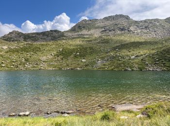
Senderismo


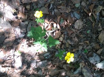
Senderismo
Senderismo
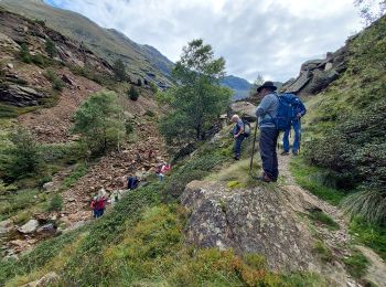
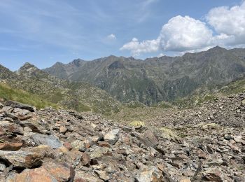
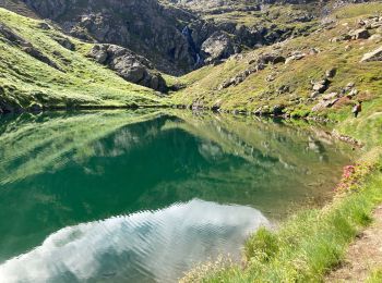
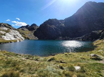
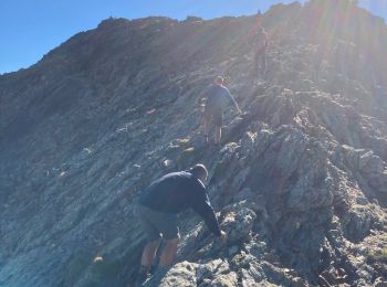
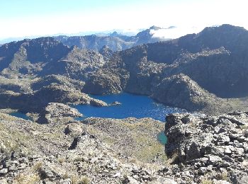
• Une belle randonnée, avec un sommet peu couru : le Picot. L'ascension de ce sommet se fait totalement hors sentier, à...
Senderismo
Senderismo
Senderismo
Senderismo
Senderismo
Senderismo
Senderismo
Senderismo

Senderismo
Senderismo

A pie
Senderismo
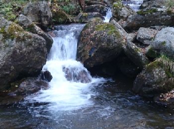
• hors sentier
Senderismo
Senderismo
Senderismo
Senderismo
Senderismo
20 excursiones mostradas en 253
Aplicación GPS de excursión GRATIS
 SityTrail
IGN / Institutos geográficos
SityTrail World
El mundo es suyo