


5,9 km | 12,8 km-effort
Cirès: Descubra las mejores excursiones: 7 senderismo. Todos estos circuitos, recorridos, itinerarios y actividades al aire libre están disponibles en nuestras aplicaciones SityTrail para smartphone y tablet.
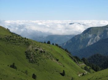
Senderismo


Senderismo
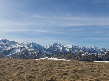
Senderismo
Senderismo
• Cires,Bourg d'Oueil,Cabane de la Coume de Baqué,Col de Louron,Pouy-Louby(2091m)Port de Pinate,Cap de la Lit,Clots de ...
Senderismo
Senderismo
Senderismo
7 excursiones mostradas en 7
Aplicación GPS de excursión GRATIS
 SityTrail
IGN / Institutos geográficos
SityTrail World
El mundo es suyo