


9,5 km | 12,4 km-effort
Tautavel: Descubra las mejores excursiones: 1 a pie y 21 senderismo. Todos estos circuitos, recorridos, itinerarios y actividades al aire libre están disponibles en nuestras aplicaciones SityTrail para smartphone y tablet.
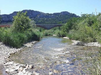
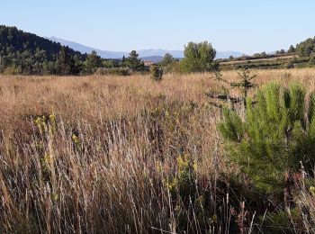
Senderismo


Senderismo

Senderismo
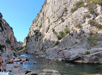
Senderismo
Senderismo
Senderismo

Senderismo
• comité

A pie

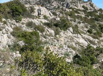
Senderismo
Senderismo
Senderismo
• Une randonnée DNS le brouillard mais quand même agréable. Pas de difficulté majeure. Attention Xu pierres et racines ...
Senderismo
Senderismo
Senderismo
Senderismo
Senderismo
Senderismo
Senderismo
Senderismo
Senderismo
20 excursiones mostradas en 22
Aplicación GPS de excursión GRATIS
 SityTrail
IGN / Institutos geográficos
SityTrail World
El mundo es suyo