


12,5 km | 24 km-effort
Mantet: Descubra las mejores excursiones: 2 a pie y 24 senderismo. Todos estos circuitos, recorridos, itinerarios y actividades al aire libre están disponibles en nuestras aplicaciones SityTrail para smartphone y tablet.
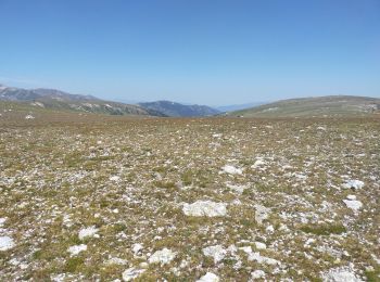
Senderismo


Senderismo
Senderismo
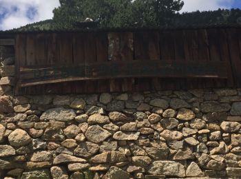
Senderismo
Senderismo
Senderismo
• Nous n'avons pas pu aller jusqu'au col à cause du mauvais temps
Senderismo

Senderismo
Senderismo
• Sortie facile au départ du village de Mantet. Départ chaussures de marche puis raquettes avant d'entrer dans la forêt
Senderismo
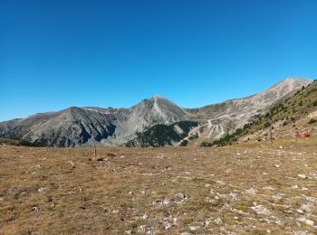
• canigou d4
Senderismo
Senderismo
Senderismo
Senderismo
Senderismo
Senderismo
Senderismo
Senderismo
Senderismo

A pie
20 excursiones mostradas en 26
Aplicación GPS de excursión GRATIS
 SityTrail
IGN / Institutos geográficos
SityTrail World
El mundo es suyo