


10,3 km | 12,5 km-effort
Agde: Descubra las mejores excursiones: 46 senderismo, 5 carrera, 7 marcha nórdica, 2 ruta y 2 a pie. Todos estos circuitos, recorridos, itinerarios y actividades al aire libre están disponibles en nuestras aplicaciones SityTrail para smartphone y tablet.
Senderismo


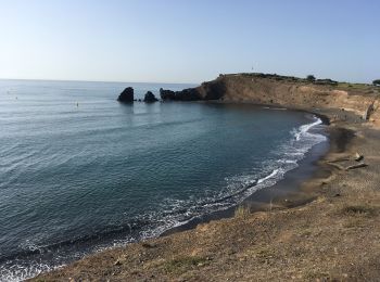
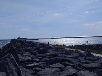
• Très belle randonnée découverte avec ascension du volcan du Mont St-Loup jusqu'à son sommet (D+ 163 m ... pfff). Vue ...

Senderismo
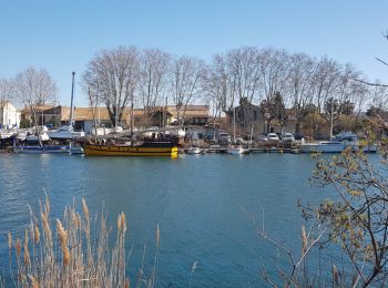
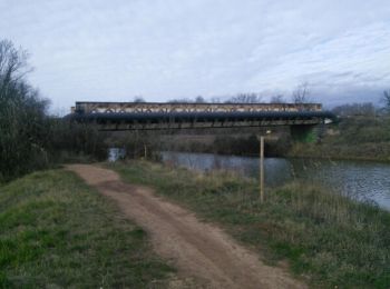
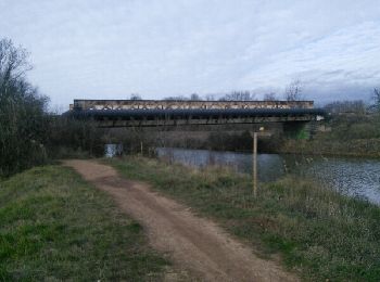
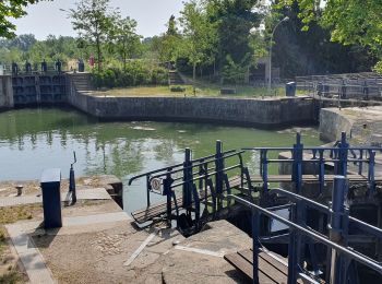
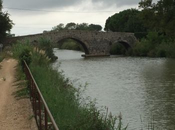
• Ballade le long du Canal du Midi et de ses écluses
Marcha nórdica
Senderismo
Senderismo
Senderismo
Senderismo
Senderismo
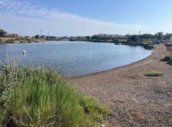
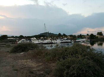
• Etang du Bagnas,Pointe de l'Onglous,canal du Midi et son chemin de halage, Etang de Thau, belles vues sur Sète.
Senderismo
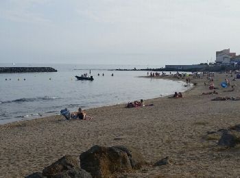
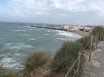
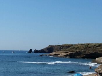
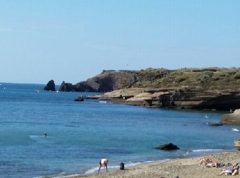
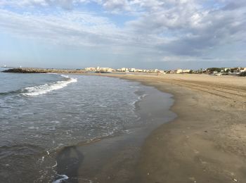
• Agréable balade par les falaises du Cap et les plages de Richelieu et de Rochelongue
Senderismo
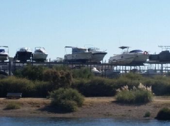
• Très beau parcours par les quais piétonniers, le golf du Cap et superbe vue sur le Bassin de Thau. Le retour par de b...
Senderismo
• Agréable parcours par les falaises, la zone technique, les quais piétonniers, le parc aquatique, le nouveau complexe...
Senderismo
• Etang du Bagnas,Pointe de l'Onglous,canal du Midi et son chemin de halage, Etang de Thau, belles vues sur Sète.
Ruta
Senderismo
Senderismo
Senderismo
Senderismo
Senderismo
• ballade
Carrera
Carrera
20 excursiones mostradas en 61
Aplicación GPS de excursión GRATIS
 SityTrail
IGN / Institutos geográficos
SityTrail World
El mundo es suyo