


19,2 km | 32 km-effort
Saint-Vallier-de-Thiey: Descubra las mejores excursiones: 18 a pie, 163 senderismo, 2 marcha nórdica y 1 ruta. Todos estos circuitos, recorridos, itinerarios y actividades al aire libre están disponibles en nuestras aplicaciones SityTrail para smartphone y tablet.
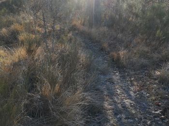
Senderismo


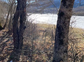
Senderismo
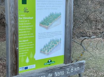
Senderismo
Senderismo
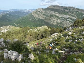
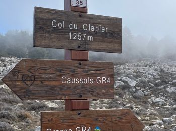
• Grasse - Saint-Vallier-de-Thiey - Montagne de Thiey (du pont de Nans)
Senderismo
Senderismo
Senderismo
Senderismo
Senderismo
Senderismo
Senderismo
Senderismo
Senderismo
Senderismo
Senderismo
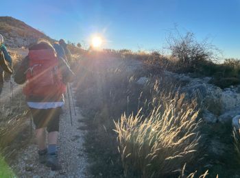
A pie
• Randonnée pédestre - Au départ de Saint-Vallier-de-Thiey, parking du Calvaire (715 m) Sitio web: https://randoxygene...
A pie
Senderismo
Senderismo
Senderismo
20 excursiones mostradas en 184
Aplicación GPS de excursión GRATIS
 SityTrail
IGN / Institutos geográficos
SityTrail World
El mundo es suyo