


6,5 km | 10,5 km-effort
Moulinet: Descubra las mejores excursiones: 6 a pie y 53 senderismo. Todos estos circuitos, recorridos, itinerarios y actividades al aire libre están disponibles en nuestras aplicaciones SityTrail para smartphone y tablet.
A pie


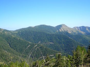
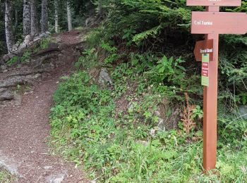
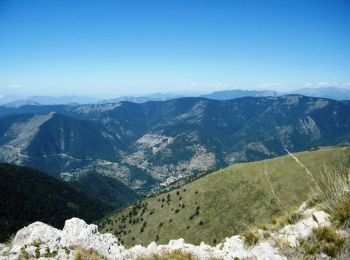
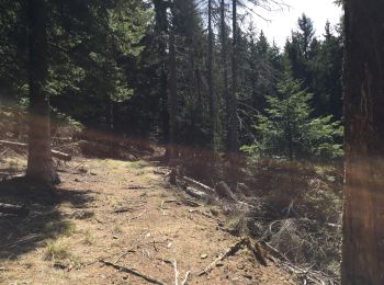
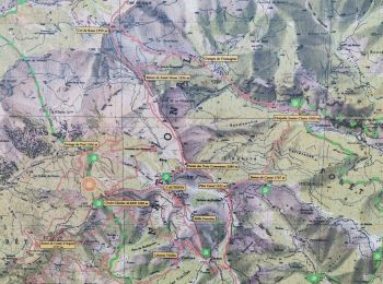
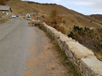
• Randonnée pédestre - Haut pays : Au départ du col de Turini (1 604 mètres) Sitio web: https://randoxygene.departemen...
A pie
• Randonnée pédestre - Haut pays : Au départ du col de Turini (1 604 mètres) Sitio web: https://randoxygene.departemen...
A pie
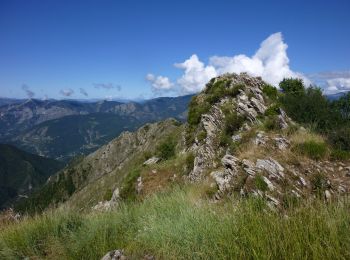
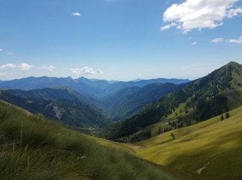
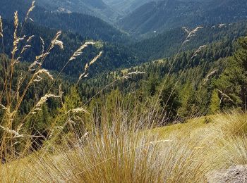
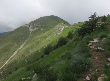
• Randonnée pédestre - Haut pays : Au départ de l’Authion (1 889 mètres) Sitio web: https://randoxygene.departement06....
Senderismo
A pie
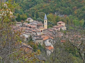
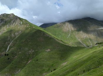
• Randonnée pédestre - Au départ de Moulinet (800 m) Sitio web: https://randoxygene.departement06.fr/bevera-paillon/ba...
Senderismo

Senderismo
Senderismo
Senderismo
Senderismo
Senderismo
Senderismo

Senderismo
Senderismo
Senderismo
Senderismo
Senderismo
Senderismo

Senderismo
Senderismo
20 excursiones mostradas en 59
Aplicación GPS de excursión GRATIS
 SityTrail
IGN / Institutos geográficos
SityTrail World
El mundo es suyo