


14,5 km | 28 km-effort
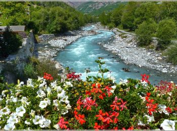
Pelvoux: Descubra las mejores excursiones: 2 a pie, 188 senderismo, 2 carrera y 4 ruta. Todos estos circuitos, recorridos, itinerarios y actividades al aire libre están disponibles en nuestras aplicaciones SityTrail para smartphone y tablet.
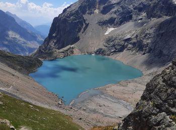
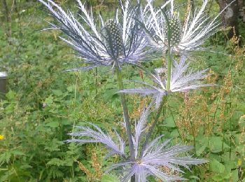
Senderismo


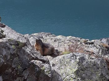
Senderismo
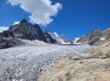
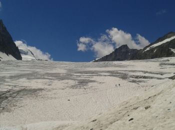
• marche sur neige et glacier
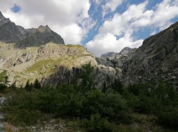
Senderismo
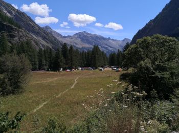
Senderismo
A pie
• Trail created by Communauté de communes du Pays des Ecrins.
Senderismo
Senderismo
Senderismo
Senderismo
Senderismo
Senderismo
Senderismo
Senderismo
Senderismo
Senderismo
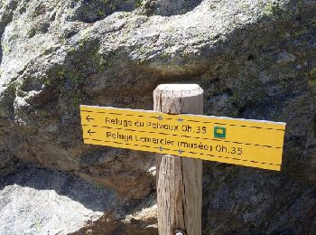
• Chambran . Monnetier les bains
Senderismo
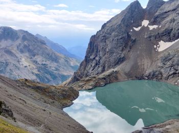
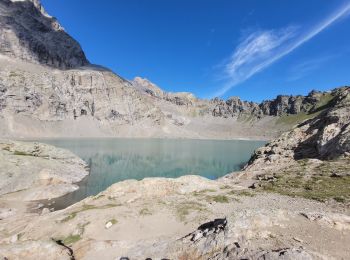
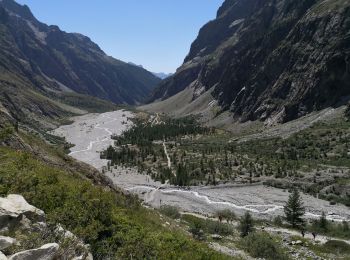
• Pré de Mme Carle au glacier Blanc
Senderismo
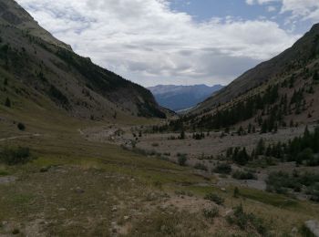
• refuge pré de Mme Carle à ailefroide
Senderismo
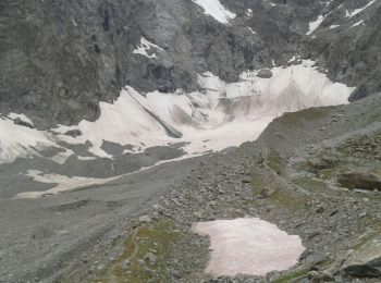
• Le glacier noir

Senderismo

Senderismo
20 excursiones mostradas en 195
Aplicación GPS de excursión GRATIS
 SityTrail
IGN / Institutos geográficos
SityTrail World
El mundo es suyo