


13,3 km | 19,6 km-effort
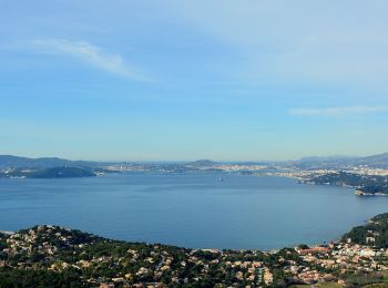
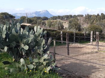
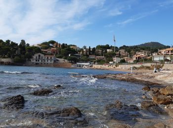
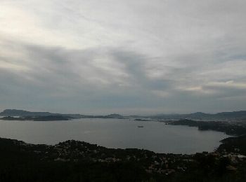
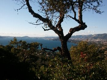
Le Pradet: Descubra las mejores excursiones: 6 a pie, 154 senderismo, 6 marcha nórdica, 6 carrera y 1 ruta. Todos estos circuitos, recorridos, itinerarios y actividades al aire libre están disponibles en nuestras aplicaciones SityTrail para smartphone y tablet.
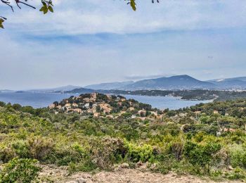
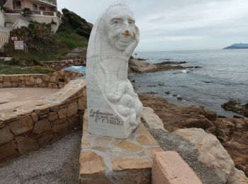
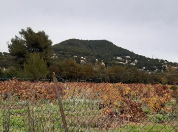
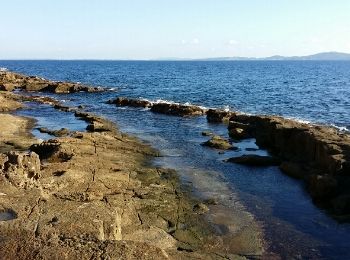
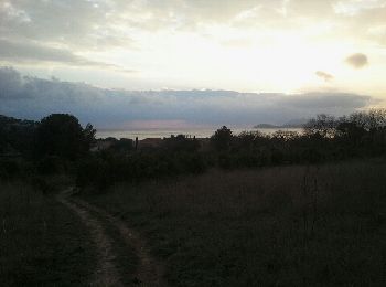
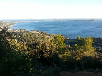
Senderismo


A pie
Senderismo
Senderismo
Senderismo
Senderismo
Senderismo
Senderismo
Senderismo
Senderismo
Marcha nórdica
Senderismo

Senderismo
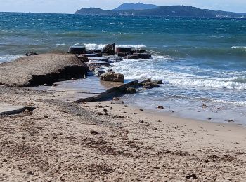
• départ la garonne

Senderismo
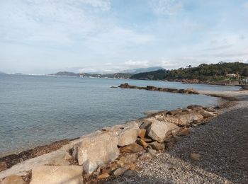
• montée raide
Senderismo
• montée raide
Senderismo
• départ la garonne
Senderismo
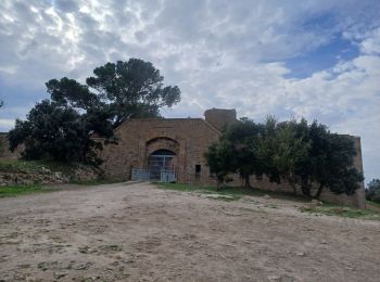
• Du fort aux Falaises du Bau
Senderismo
Senderismo

Senderismo
20 excursiones mostradas en 173
Aplicación GPS de excursión GRATIS
 SityTrail
IGN / Institutos geográficos
SityTrail World
El mundo es suyo