


36 km | 58 km-effort
Seythenex: Descubra las mejores excursiones: 2 a pie, 40 senderismo, 1 marcha nórdica y 1 ruta. Todos estos circuitos, recorridos, itinerarios y actividades al aire libre están disponibles en nuestras aplicaciones SityTrail para smartphone y tablet.
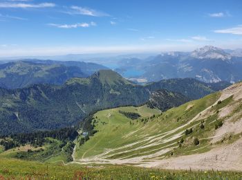
Senderismo


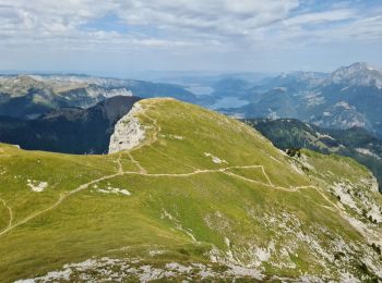
Senderismo
Senderismo
Senderismo

Senderismo
Senderismo

Senderismo

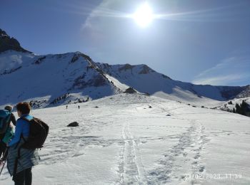
Marcha nórdica
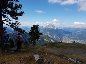
Senderismo
Senderismo
Senderismo
Senderismo
Senderismo

Senderismo
Senderismo
Senderismo
Senderismo
Senderismo
• Circuit - Quelques passages délicats
Senderismo
• Circuit
Senderismo
20 excursiones mostradas en 44
Aplicación GPS de excursión GRATIS
 SityTrail
IGN / Institutos geográficos
SityTrail World
El mundo es suyo