


24 km | 34 km-effort
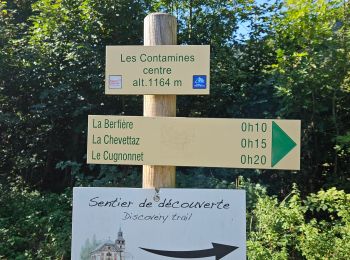
Les Contamines-Montjoie: Descubra las mejores excursiones: 6 a pie, 199 senderismo, 10 marcha nórdica, 5 carrera y 3 ruta. Todos estos circuitos, recorridos, itinerarios y actividades al aire libre están disponibles en nuestras aplicaciones SityTrail para smartphone y tablet.
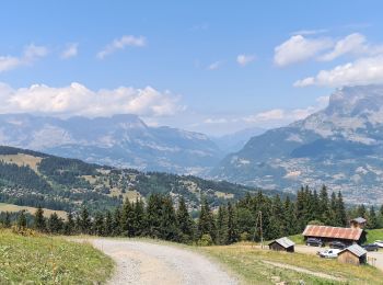
Senderismo


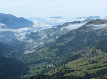
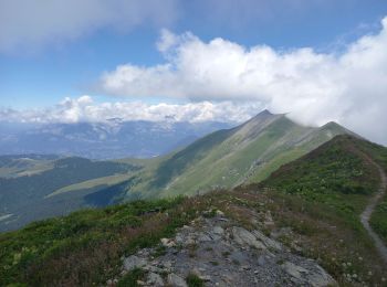
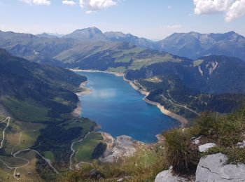
• Beaufortain
Senderismo
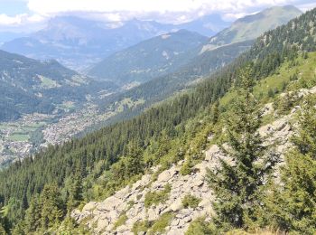
Senderismo
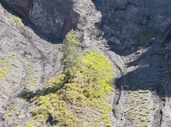
Senderismo
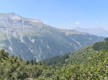
Senderismo
Senderismo
Senderismo
Senderismo
Senderismo
Senderismo
Senderismo
Senderismo
Senderismo
Senderismo
Senderismo
Senderismo
Senderismo

A pie
Senderismo
Senderismo
20 excursiones mostradas en 223
Aplicación GPS de excursión GRATIS
 SityTrail
IGN / Institutos geográficos
SityTrail World
El mundo es suyo