


7,8 km | 19,8 km-effort
Ugine: Descubra las mejores excursiones: 1 a pie, 51 senderismo, 1 marcha nórdica y 4 carrera. Todos estos circuitos, recorridos, itinerarios y actividades al aire libre están disponibles en nuestras aplicaciones SityTrail para smartphone y tablet.
Senderismo


Senderismo
Senderismo
Senderismo
Senderismo
Senderismo
Senderismo
• Détails de la rando sur TraceGPS.com http://www.tracegps.com/fr/parcours/circuit1950.htm
Senderismo
Senderismo
Senderismo

A pie
Senderismo
Senderismo
Senderismo
Marcha nórdica
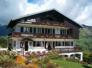
• Agréable
Senderismo
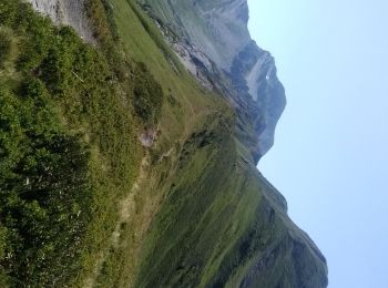
• Le Col de l''Arpettaz

Carrera
Senderismo
Senderismo
Senderismo
20 excursiones mostradas en 57
Aplicación GPS de excursión GRATIS
 SityTrail
IGN / Institutos geográficos
SityTrail World
El mundo es suyo