


12,3 km | 25 km-effort
Voreppe: Descubra las mejores excursiones: 2 a pie, 47 senderismo, 2 carrera y 2 ruta. Todos estos circuitos, recorridos, itinerarios y actividades al aire libre están disponibles en nuestras aplicaciones SityTrail para smartphone y tablet.
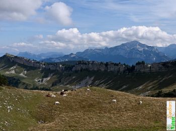
Senderismo


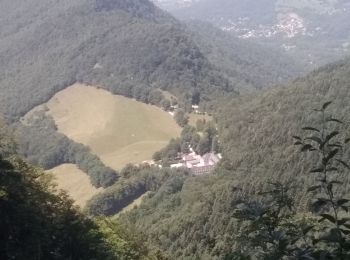
Senderismo
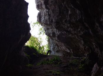
Senderismo

Senderismo
Senderismo
Senderismo
Senderismo

Senderismo
Senderismo

Senderismo
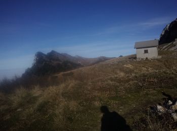
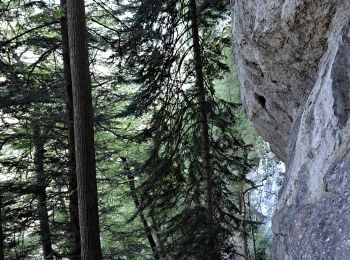
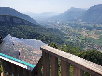
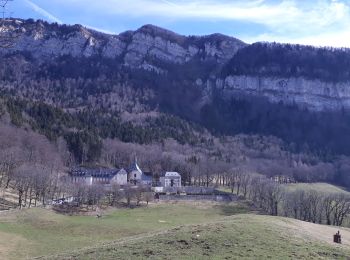
• Boucle: Le Chevalon de Voreppe - La cheminée de Mont St Martin - Le couvent et l'aiguille de Chalais. La cheminée de...
Senderismo
Senderismo
Senderismo
Senderismo
Senderismo

A pie

Senderismo
Senderismo
Senderismo
Senderismo
20 excursiones mostradas en 53
Aplicación GPS de excursión GRATIS
 SityTrail
IGN / Institutos geográficos
SityTrail World
El mundo es suyo