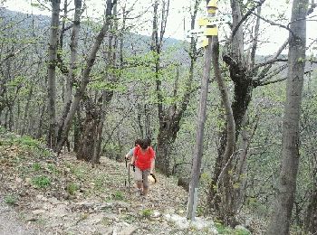
Beaumont, Ardecha, A pie: Los mejores itinerarios de excursión, recorridos, paseos y sendas

Beaumont: Descubra las mejores excursiones: 1 a pie, 16 senderismo y 1 carrera. Todos estos circuitos, recorridos, itinerarios y actividades al aire libre están disponibles en nuestras aplicaciones SityTrail para smartphone y tablet.


Los mejores recorridos (18)
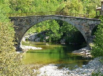
Excursión Senderismo Beaumont - beaumont - Photo
Senderismo 7.38
Km

Senderismo

Difícil
Beaumont, Auvergne-Rhône-Alpes, Ardecha, France
7,4 km | 11,4 km-effort
2h 40min
301 m
300 m
Ptitjack30

Excursión A pie Beaumont - Sentier botanique de Beaumont - Photo
A pie 5.417
Km
GUIDE+

A pie

Fácil
Beaumont, Auvergne-Rhône-Alpes, Ardecha, France
5,4 km | 9,5 km-effort
2h 9min
302 m
310 m
SityTrail - itinéraires balisés pédestres

• Trail created by Association Vie et Tourisme.
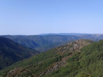
Excursión Senderismo Beaumont - Beaumont La Parot Sentier Bota 17km - Photo
Senderismo 16.724
Km

Senderismo

Muy difícil
Beaumont, Auvergne-Rhône-Alpes, Ardecha, France
16,7 km | 25 km-effort
5h 53min
656 m
656 m
chancha

Excursión Senderismo Beaumont - pont de Gua loubaresse - Photo
Senderismo 16.777
Km

Senderismo

Muy difícil
Beaumont, Auvergne-Rhône-Alpes, Ardecha, France
16,8 km | 29 km-effort
6h 2min
1153 m
232 m
No
delolmealain

Excursión Senderismo Beaumont - 6 le Gua - Le Jal - Photo
Senderismo 10.281
Km

Senderismo

Medio
Beaumont, Auvergne-Rhône-Alpes, Ardecha, France
10,3 km | 17,1 km-effort
3h 12min
573 m
320 m
No
Clo0413

Excursión Senderismo Beaumont - le gua - Photo
Senderismo 9.104
Km

Senderismo

Difícil
Beaumont, Auvergne-Rhône-Alpes, Ardecha, France
9,1 km | 14,3 km-effort
2h 46min
410 m
339 m
No
Clo0413

Excursión Senderismo Beaumont - Ribunat Beaumont  - Photo
Senderismo 12.879
Km

Senderismo

Muy difícil
Beaumont, Auvergne-Rhône-Alpes, Ardecha, France
12,9 km | 20 km-effort
5h 21min
559 m
565 m
Michel07

Excursión Senderismo Beaumont - Le Gua - Le Jal - Photo
Senderismo 9.227
Km

Senderismo

Medio
Beaumont, Auvergne-Rhône-Alpes, Ardecha, France
9,2 km | 16,1 km-effort
3h 39min
579 m
328 m
No
Clo0413

Excursión Senderismo Beaumont - La Roche Loubaresse tour du Tanargue - Photo
Senderismo 14.91
Km

Senderismo

Muy difícil
Beaumont, Auvergne-Rhône-Alpes, Ardecha, France
14,9 km | 24 km-effort
5h 50min
870 m
199 m
No
Michel07

Excursión Senderismo Beaumont - tanargue 2 - Photo
Senderismo 16.724
Km

Senderismo

Medio
Beaumont, Auvergne-Rhône-Alpes, Ardecha, France
16,7 km | 29 km-effort
6h 0min
1146 m
206 m
No
thomas.o.vert

Excursión Senderismo Beaumont - 2022-08-19_18h33m45_Le Gua  La Parot 16km .gpx (1).xml - Photo
Senderismo 15.449
Km

Senderismo

Difícil
Beaumont, Auvergne-Rhône-Alpes, Ardecha, France
15,4 km | 25 km-effort
5h 53min
723 m
717 m
chancha

Excursión Senderismo Beaumont - 2022-06-25_20h28m06_Beaumont Peytot Sentier Bota 12km.gpx (1).xml - Photo
Senderismo 11.767
Km

Senderismo

Medio
Beaumont, Auvergne-Rhône-Alpes, Ardecha, France
11,8 km | 18 km-effort
4h 11min
471 m
470 m
chancha

Excursión Senderismo Beaumont - Beaumont  - Photo
Senderismo 13.076
Km

Senderismo

Muy difícil
Beaumont, Auvergne-Rhône-Alpes, Ardecha, France
13,1 km | 20 km-effort
5h 23min
541 m
541 m
Michel07

Excursión Senderismo Beaumont - pont du Gua beaumont  - Photo
Senderismo 13.857
Km

Senderismo

Medio
Beaumont, Auvergne-Rhône-Alpes, Ardecha, France
13,9 km | 22 km-effort
4h 30min
586 m
591 m
07es18

Excursión Senderismo Beaumont - le pont du Gua - Photo
Senderismo 6.739
Km

Senderismo

Fácil
Beaumont, Auvergne-Rhône-Alpes, Ardecha, France
6,7 km | 11,5 km-effort
3h 9min
338 m
418 m
No
Genisset

Excursión Senderismo Beaumont - le travers - Photo
Senderismo 12.829
Km

Senderismo

Medio
Beaumont, Auvergne-Rhône-Alpes, Ardecha, France
12,8 km | 22 km-effort
6h 13min
721 m
505 m
No
Genisset

Excursión Carrera Beaumont - Retour Huedour 50k - Photo
Carrera 47.384
Km

Carrera

Difícil
Beaumont, Auvergne-Rhône-Alpes, Ardecha, France
47 km | 77 km-effort
10h 0min
2345 m
1842 m
No
tnec

Excursión Senderismo Beaumont - Le Gua - Photo
Senderismo 12.246
Km

Senderismo

Medio
Beaumont, Auvergne-Rhône-Alpes, Ardecha, France
12,2 km | 19,6 km-effort
7h 40min
552 m
554 m
patbt

18 excursiones mostradas en 18

Aplicación GPS de excursión GRATIS

Logo SityTrail SityTrail

IGN / Institutos geográficos

Descargar SityTrail en App Store Descargar SityTrail en Google Play

Logo SityTrail SityTrail World

El mundo es suyo

Descargar SityTrail en App Store Descargar SityTrail en Google Play Descargar SityTrail en Huawei AppGallery

Actividades

Cerrar
Mis suscripciones