


13,7 km | 21 km-effort
Chamaloc: Descubra las mejores excursiones: 52 senderismo y 4 marcha nórdica. Todos estos circuitos, recorridos, itinerarios y actividades al aire libre están disponibles en nuestras aplicaciones SityTrail para smartphone y tablet.
Senderismo


Senderismo
Senderismo

Senderismo
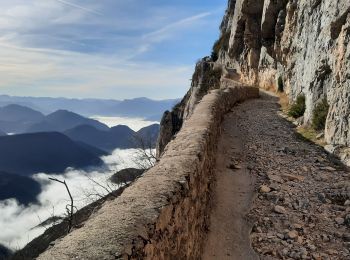
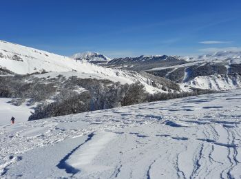
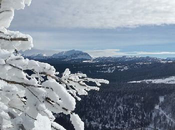
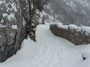
• 14/02/2019 départ sud du tunnel du Rousset la traversée du pierrier au départ est délicate
Senderismo
Senderismo
• 14/02/2019 départ sud du tunnel du Rousset la traversée du pierrier au départ est délicate
Senderismo
Senderismo
Marcha nórdica

Senderismo
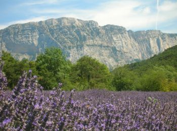
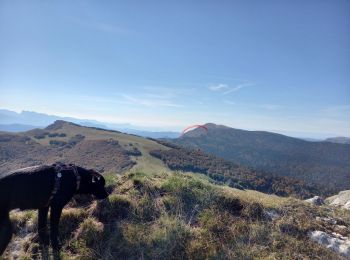
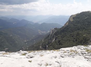
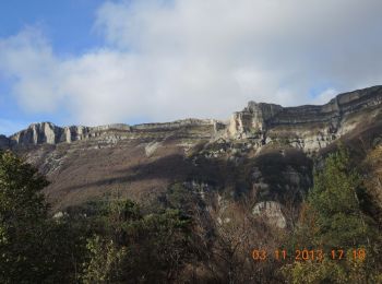
• Belle rando au départ du tunnel du Rousset, côté Die. Superbes points de vue. Pas de difficultés techniques.
Senderismo
• azur 17.05.2017
Marcha nórdica
Marcha nórdica
Senderismo
Senderismo
Senderismo
Senderismo
Senderismo
Senderismo
Senderismo
20 excursiones mostradas en 56
Aplicación GPS de excursión GRATIS
 SityTrail
IGN / Institutos geográficos
SityTrail World
El mundo es suyo