


13 km | 22 km-effort
Treschenu-Creyers: Descubra las mejores excursiones: 2 a pie, 223 senderismo, 4 marcha nórdica, 1 carrera y 1 ruta. Todos estos circuitos, recorridos, itinerarios y actividades al aire libre están disponibles en nuestras aplicaciones SityTrail para smartphone y tablet.
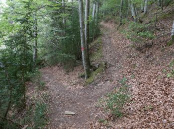
Senderismo


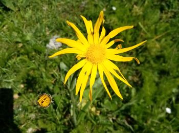
Senderismo
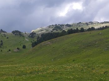
Senderismo
Senderismo
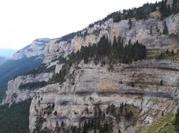
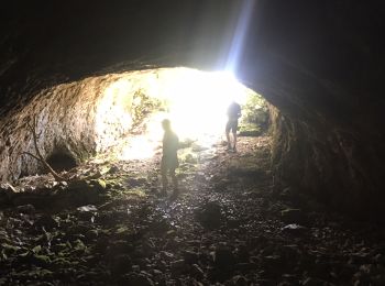
• LCV. Croix du Lautaret. Très belle rando faite avec Maurice en reco.
Senderismo

Senderismo
Senderismo
Senderismo
Senderismo

Senderismo
Senderismo
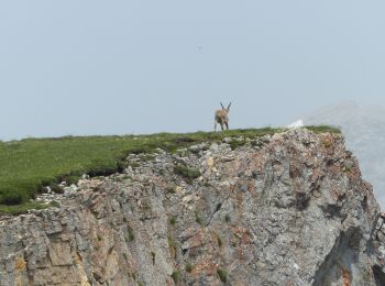
• Belle ballade avec de magnifiques vautours.
Senderismo
Senderismo
Senderismo
Senderismo
Senderismo
Senderismo
Senderismo
Senderismo
Senderismo
20 excursiones mostradas en 231
Aplicación GPS de excursión GRATIS
 SityTrail
IGN / Institutos geográficos
SityTrail World
El mundo es suyo