


8,6 km | 10,5 km-effort
Gif-sur-Yvette: Descubra las mejores excursiones: 3 a pie, 99 senderismo, 9 marcha nórdica, 2 carrera y 1 ruta. Todos estos circuitos, recorridos, itinerarios y actividades al aire libre están disponibles en nuestras aplicaciones SityTrail para smartphone y tablet.
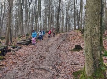
Senderismo


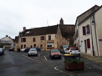
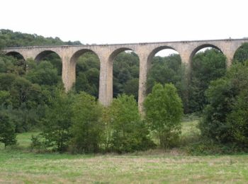
• D’abord lieu de villégiature de la bourgeoisie parisienne, puis des ouvriers qui y cultivaient leurs jardins,Gif-sur-...
Senderismo
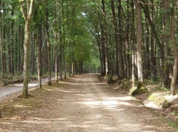
A pie
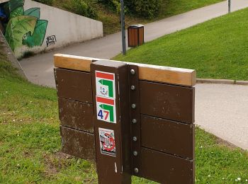
• Symbol: yellow bar
Senderismo
Senderismo

Senderismo
Senderismo
Senderismo
Senderismo
Senderismo
Senderismo
Senderismo
Senderismo
Senderismo
Senderismo

Senderismo
• marche
Senderismo

Senderismo
Senderismo
Senderismo
20 excursiones mostradas en 114
Aplicación GPS de excursión GRATIS
 SityTrail
IGN / Institutos geográficos
SityTrail World
El mundo es suyo