


11,3 km | 19,8 km-effort
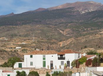
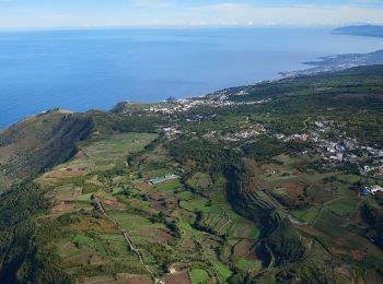
Canarias: Descubra las mejores excursiones: 120 a pie, 597 senderismo, 1 marcha nórdica, 17 carrera y 12 ruta. Todos estos circuitos, recorridos, itinerarios y actividades al aire libre están disponibles en nuestras aplicaciones SityTrail para smartphone y tablet.
A pie


Senderismo
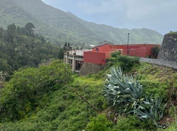
• Rando depuis la maison de Cyran.
Senderismo
Senderismo
Senderismo
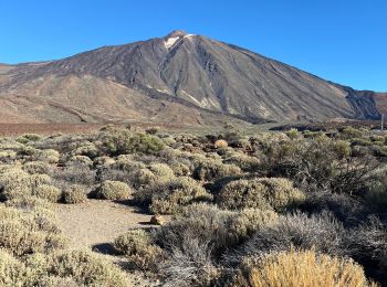
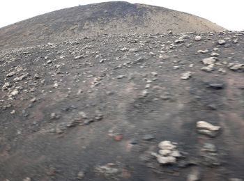
• Montée au sommet du volcan
Senderismo

Senderismo
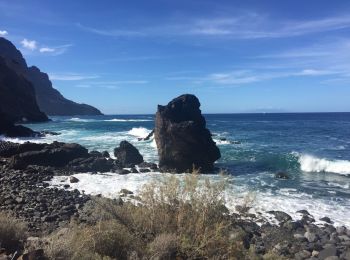
• Los Gigantes
Senderismo
Senderismo
Senderismo

Senderismo
Senderismo
Senderismo
A pie
• Trail created by Cabildo Insular de Tenerife.
A pie
• The Way is signposted annually
A pie
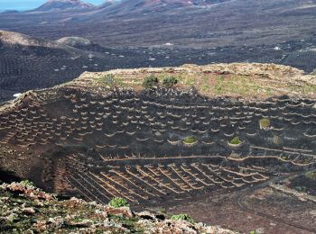
• Trail created by Parque Nacional de Timanfaya.
A pie
• Trail created by Ayuntamiento Villa de Arico. Symbol: parallel horizontal bars white white
A pie
• Trail created by Ayuntamiento de El Tanque. Symbol: parallel horizontal bars green white
A pie
• Trail created by Ayuntamiento de El Tanque. Symbol: parallel horizontal bars green white
A pie
• Sitio web: http://www.senderosdelapalma.es/senderos/lista-de-senderos/senderos-autoguiados/
20 excursiones mostradas en 747
Aplicación GPS de excursión GRATIS
 SityTrail
IGN / Institutos geográficos
SityTrail World
El mundo es suyo