


4,1 km | 6,1 km-effort
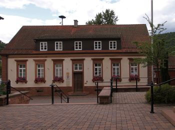
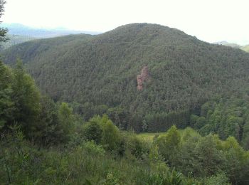
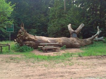
Erfweiler: Descubra las mejores excursiones: 10 a pie. Todos estos circuitos, recorridos, itinerarios y actividades al aire libre están disponibles en nuestras aplicaciones SityTrail para smartphone y tablet.
A pie


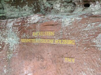
• Trail created by Verkehrsverein Erfweiler.
A pie
• Trail created by Verkehrsverein Erfweiler.
A pie
• Trail created by Verkehrsverein Erfweiler.
A pie
• Trail created by Verkehrsverein Erfweiler.
A pie
• Trail created by Verkehrsverein Erfweiler.
A pie
• Trail created by Verkehrsverein Erfweiler.
A pie
• Trail created by Verkehrsverein Erfweiler.
A pie
• Trail created by Tourist Information Dahner Felsenland. Symbol: Stilisierte blaue Kapelle auf weißem Grund mit schwa...
A pie
• Symbol: Stilisierter weißer Hahnenkopf auf blauem Grund mit weißer Unterschrift "Hahnfels-Tour"
A pie
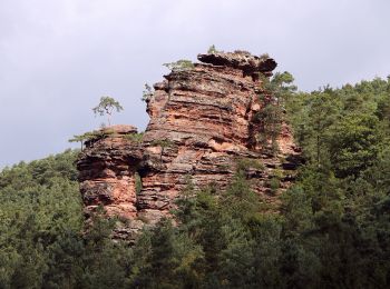
• Symbol: Stilisierte orangene Felsen auf weißem Grund
10 excursiones mostradas en 10
Aplicación GPS de excursión GRATIS
 SityTrail
IGN / Institutos geográficos
SityTrail World
El mundo es suyo