


6 km | 7,6 km-effort
Bad Honnef: Descubra las mejores excursiones: 3 a pie y 1 senderismo. Todos estos circuitos, recorridos, itinerarios y actividades al aire libre están disponibles en nuestras aplicaciones SityTrail para smartphone y tablet.
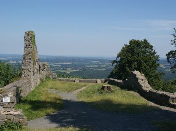
A pie


• Trail created by Romantischer Rhein Tourismus GmbH. Symbol: Stilisiertes weißes R auf gelbem Grund
A pie
• Trail created by Romantischer Rhein Tourismus GmbH. Symbol: Stilisiertes weißes R auf gelbem Grund
![Excursión A pie Bad Honnef - Rheinsteig [Bad Honnef - Linz] - Photo](https://media.geolcdn.com/t/350/260/ext.jpg?maxdim=2&url=https%3A%2F%2Fstatic1.geolcdn.com%2Fsiteimages%2Fupload%2Ffiles%2F1545311037marcheuse_200dpi.jpg)
A pie

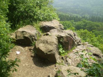
Senderismo
• Siebengebirge 21km.
4 excursiones mostradas en 4
Aplicación GPS de excursión GRATIS
 SityTrail
IGN / Institutos geográficos
SityTrail World
El mundo es suyo