


3,7 km | 4,5 km-effort
Mitte: Descubra las mejores excursiones: 6 a pie. Todos estos circuitos, recorridos, itinerarios y actividades al aire libre están disponibles en nuestras aplicaciones SityTrail para smartphone y tablet.
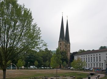
A pie


• Trail created by Teutoburger Wald Verband.
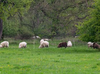
A pie
• Trail created by Teutoburger Wald Verband.
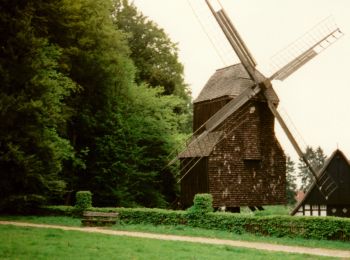
A pie
• Trail created by Teutoburger-Wald-Verein. Symbol: weisse 2 in weisser Raute
A pie
• Trail created by Teutoburger-Wald-Verein. Symbol: weisse 5 in weisser Raute

A pie
• Trail created by Teutoburger-Wald-Verein. Symbol: weisse 4 in weisser Raute Sitio web: https://www.twv-bielefeld.d...
A pie
• Trail created by Teutoburger-Wald-Verein. Symbol: weisse 10 in weisser Raute
6 excursiones mostradas en 6
Aplicación GPS de excursión GRATIS
 SityTrail
IGN / Institutos geográficos
SityTrail World
El mundo es suyo