


3,1 km | 3,4 km-effort
Landkreis München: Descubra las mejores excursiones: 13 a pie. Todos estos circuitos, recorridos, itinerarios y actividades al aire libre están disponibles en nuestras aplicaciones SityTrail para smartphone y tablet.
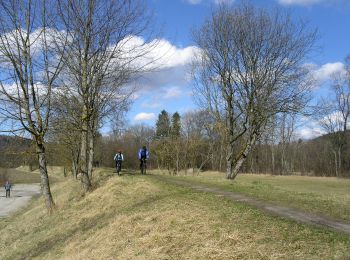
A pie


• Trail created by Wasserwirtschaftsamt München, Isartalverein e.V..
A pie
• Trail created by Wasserwirtschaftsamt München, Isartalverein e.V..
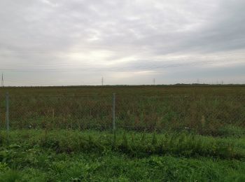
A pie
• Trail created by Heideflächenverein Münchener Norden.
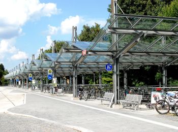
A pie
• Trail created by Münchner Verkehrsverbund. Symbol: Grünes diagonales Rechteck auf weißem Grund
A pie
• Trail created by Münchner Verkehrsverbund. Symbol: Grünes diagonales Rechteck auf weißem Grund
A pie
• Trail created by Münchner Verkehrsverbund. Symbol: Grünes diagonalse Rechteck auf weißem Grund
A pie
• Trail created by Münchner Verkehrsverbund. Symbol: Grünes Dreieck auf weißem Grund
A pie
• Symbol: Wanderer auf weißem Grund
A pie

A pie
• Trail created by Gemeinde Hohenbrunn.
A pie
• Trail created by Gemeinde Hohenbrunn.
A pie
• Trail created by Gemeinde Sauerlach. Symbol: Roter Punkt
A pie
• Trail created by Gemeinde Sauerlach. Symbol: Blauer Punkt
13 excursiones mostradas en 13
Aplicación GPS de excursión GRATIS
 SityTrail
IGN / Institutos geográficos
SityTrail World
El mundo es suyo