![](/images/other/stat-length.png)
- Excursiones
- A pie
- Germany
- Baviera
- Erlangen
Erlangen, Baviera, A pie: Los mejores itinerarios de excursión, recorridos, paseos y sendas
Erlangen: Descubra las mejores excursiones: 5 a pie. Todos estos circuitos, recorridos, itinerarios y actividades al aire libre están disponibles en nuestras aplicaciones SityTrail para smartphone y tablet.
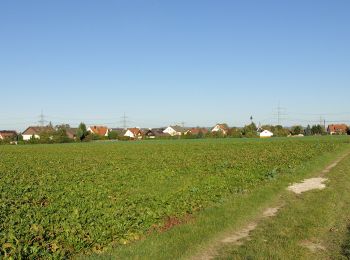
Los mejores recorridos (5)
![Excursión A pie - Steudach - Herogenaurach - Photo](https://media.geolcdn.com/t/350/260/326b0b59-d310-4208-b907-9fdb0ba2140b.jpeg&format=jpg&maxdim=2)
![A pie A pie](https://static1.geolcdn.com/sitytour/trail-icons/100.png)
Km
A pie
![](/images/other/stat-length.png)
![](https://static1.geolcdn.com/siteimages/upload/files/1508320355ic_sort_den_pos_24dp.png)
![](https://static1.geolcdn.com/siteimages/upload/files/1508320355ic_sort_den_neg_24dp.png)
![](https://static1.geolcdn.com/siteimages/upload/files/16400158638029165_repeat_loop_refresh_sync_direction_icon.png)
• Trail created by Fränkischer Albverein. Symbol: Blauer Punkt auf weißem Grund
![Excursión A pie - Erlangen-Steudach - Photo](https://media.geolcdn.com/t/350/260/326b0b59-d310-4208-b907-9fdb0ba2140b.jpeg&format=jpg&maxdim=2)
![A pie A pie](https://static1.geolcdn.com/sitytour/trail-icons/100.png)
Km
A pie
![](/images/other/stat-length.png)
![](https://static1.geolcdn.com/siteimages/upload/files/1508320355ic_sort_den_pos_24dp.png)
![](https://static1.geolcdn.com/siteimages/upload/files/1508320355ic_sort_den_neg_24dp.png)
![](https://static1.geolcdn.com/siteimages/upload/files/16400158638029165_repeat_loop_refresh_sync_direction_icon.png)
• Trail created by Fränkischer Albverein. Symbol: Blauer Ring auf weißem Hintergrund
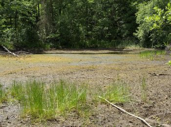
![Excursión A pie - Zigeunereck Trail - Photo](https://media.geolcdn.com/t/350/260/2d289e07-5fb0-4f85-a06b-129887d0ae8b.jpeg&format=jpg&maxdim=2)
![A pie A pie](https://static1.geolcdn.com/sitytour/trail-icons/100.png)
Km
A pie
![](/images/other/stat-length.png)
![](https://static1.geolcdn.com/siteimages/upload/files/1508320355ic_sort_den_pos_24dp.png)
![](https://static1.geolcdn.com/siteimages/upload/files/1508320355ic_sort_den_neg_24dp.png)
![](https://static1.geolcdn.com/siteimages/upload/files/16400158638029165_repeat_loop_refresh_sync_direction_icon.png)
• Trail created by Nordic Walking Park Buckenhof Uttenreuth. geprüft (Feb. 2015 by cycling_zno) Symbol: Nordic Walker...
![Excursión A pie - DAK-Eisert-Nordic Walking Parcour - Photo](https://media.geolcdn.com/t/350/260/83bb39d6-d712-4c37-9cdf-22ccc440f885.jpeg&format=jpg&maxdim=2)
![A pie A pie](https://static1.geolcdn.com/sitytour/trail-icons/100.png)
Km
A pie
![](/images/other/stat-length.png)
![](https://static1.geolcdn.com/siteimages/upload/files/1508320355ic_sort_den_pos_24dp.png)
![](https://static1.geolcdn.com/siteimages/upload/files/1508320355ic_sort_den_neg_24dp.png)
![](https://static1.geolcdn.com/siteimages/upload/files/16400158638029165_repeat_loop_refresh_sync_direction_icon.png)
• Trail created by DAK. wieder zurück geändert, da von der Stadt kurz falsch markiert von kanu_guenni 03/15, modifizie...
![Excursión A pie - Erlangen 8 grün - Photo](https://media.geolcdn.com/t/350/260/4026b844-60dc-4d74-adfc-42edf5297bc2.jpeg&format=jpg&maxdim=2)
![A pie A pie](https://static1.geolcdn.com/sitytour/trail-icons/100.png)
Km
A pie
![](/images/other/stat-length.png)
![](https://static1.geolcdn.com/siteimages/upload/files/1508320355ic_sort_den_pos_24dp.png)
![](https://static1.geolcdn.com/siteimages/upload/files/1508320355ic_sort_den_neg_24dp.png)
![](https://static1.geolcdn.com/siteimages/upload/files/16400158638029165_repeat_loop_refresh_sync_direction_icon.png)
• Trail created by Heimat-und Verkehrsverein Erlangen-Dechsendorf. geprüft (Feb. 2015 by cycling_zno) Symbol: weisse ...
5 excursiones mostradas en 5
Aplicación GPS de excursión GRATIS