


10,3 km | 14,9 km-effort
Kemnath: Descubra las mejores excursiones: 6 a pie. Todos estos circuitos, recorridos, itinerarios y actividades al aire libre están disponibles en nuestras aplicaciones SityTrail para smartphone y tablet.
A pie


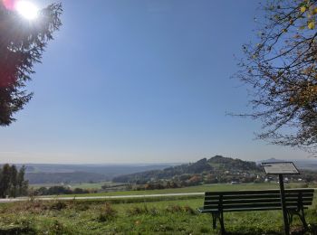
• Trail created by GEOPARK Bayern-Böhmen. Markierung nur im Uhrzeigersinn
A pie
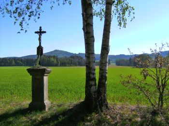
• Trail created by GEOPARK Bayern-Böhmen. Markierung nur im Uhrzeigersinn
A pie
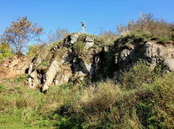
• Trail created by Oberpfälzer Wald-Verein. Symbol: roter Punkt
A pie
• Trail created by GEOPARK Bayern-Böhmen. Markierung nur im Uhrzeigersinn
A pie
• Trail created by Oberpfälzer Wald-Verein. Symbol: rotes Rechteck
A pie
• Trail created by Oberpfälzer Wald-Verein. Symbol: gelbes Rechteck
6 excursiones mostradas en 6
Aplicación GPS de excursión GRATIS
 SityTrail
IGN / Institutos geográficos
SityTrail World
El mundo es suyo