


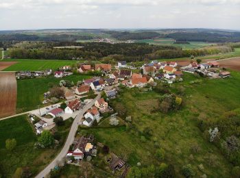
10,3 km | 12,6 km-effort
Haundorf: Descubra las mejores excursiones: 11 a pie. Todos estos circuitos, recorridos, itinerarios y actividades al aire libre están disponibles en nuestras aplicaciones SityTrail para smartphone y tablet.
A pie


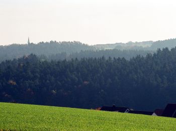
• Trail created by Fränkisches Seenland. abgeschlossen (Februar 2014, by cycling_zno) Symbol: Blaue Tafel mit weißer ...
A pie
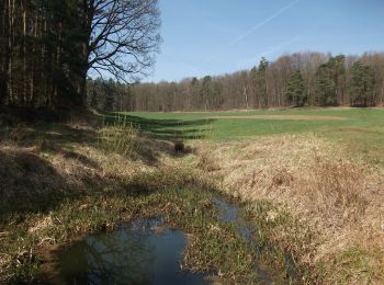
• Trail created by Fränkisches Seenland. abgeschlossen (Februar 2014, by cycling_zno) Symbol: Blaue Tafel mit weißer ...
A pie
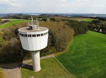
• Trail created by Fränkisches Seenland. abgeschlossen (Februar 2014, by cycling_zno) Symbol: Blaue Tafel mit weißer ...
A pie
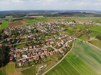
• Trail created by Fränkisches Seenland. abgeschlossen (Februar 2014, by cycling_zno) Symbol: Blaue Tafel mit weißer ...
A pie
• Trail created by Fränkisches Seenland. abgeschlossen (Februar 2014, by cycling_zno) Symbol: Blaue Tafel mit weißer ...
A pie
• Trail created by Fränkisches Seenland. abgeschlossen (Februar 2014, by cycling_zno) Symbol: Blaue Tafel mit weißer ...
A pie
• Trail created by Fränkisches Seenland. abgeschlossen (Februar 2014, by cycling_zno) Symbol: Blaue Tafel mit weißer ...

A pie
• Trail created by Fränkisches Seenland. abgeschlossen (Februar 2014, by cycling_zno) Symbol: Blaue Tafel mit weißer ...
A pie
• Trail created by Fränkisches Seenland. abgeschlossen (Februar 2014, by cycling_zno) Symbol: Blaue Tafel mit weißer ...
A pie
• Trail created by Fränkisches Seenland. abgeschlossen (Februar 2014, by cycling_zno) Symbol: Blaue Tafel mit weißer ...
A pie
• Trail created by Fränkisches Seenland. abgeschlossen (Februar 2014, by cycling_zno) Symbol: Blaue Tafel mit weißer ...
11 excursiones mostradas en 11
Aplicación GPS de excursión GRATIS
 SityTrail
IGN / Institutos geográficos
SityTrail World
El mundo es suyo