![](/images/other/stat-length.png)
- Excursiones
- A pie
- Germany
- Baviera
- Landkreis Schweinfurt
- Oberschwarzach
Oberschwarzach, Landkreis Schweinfurt, A pie: Los mejores itinerarios de excursión, recorridos, paseos y sendas
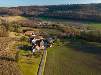
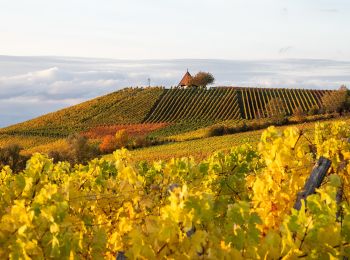
Oberschwarzach: Descubra las mejores excursiones: 4 a pie. Todos estos circuitos, recorridos, itinerarios y actividades al aire libre están disponibles en nuestras aplicaciones SityTrail para smartphone y tablet.
Los mejores recorridos (4)
![Excursión A pie Oberschwarzach - Rundweg Stollburg - Photo](https://media.geolcdn.com/t/350/260/d01c44f3-91c5-4b45-ac95-79ba7cb389b3.jpeg&format=jpg&maxdim=2)
![A pie A pie](https://static1.geolcdn.com/sitytour/trail-icons/100.png)
Km
A pie
![](/images/other/stat-length.png)
![](https://static1.geolcdn.com/siteimages/upload/files/1508320355ic_sort_den_pos_24dp.png)
![](https://static1.geolcdn.com/siteimages/upload/files/1508320355ic_sort_den_neg_24dp.png)
![](https://static1.geolcdn.com/siteimages/upload/files/16400158638029165_repeat_loop_refresh_sync_direction_icon.png)
• Symbol: Stilisierte Burgruine auf hellblauem Grund
![Excursión A pie Oberschwarzach - Rundweg Waldläufer O2 - Photo](https://media.geolcdn.com/t/350/260/d01c44f3-91c5-4b45-ac95-79ba7cb389b3.jpeg&format=jpg&maxdim=2)
![A pie A pie](https://static1.geolcdn.com/sitytour/trail-icons/100.png)
Km
A pie
![](/images/other/stat-length.png)
![](https://static1.geolcdn.com/siteimages/upload/files/1508320355ic_sort_den_pos_24dp.png)
![](https://static1.geolcdn.com/siteimages/upload/files/1508320355ic_sort_den_neg_24dp.png)
![](https://static1.geolcdn.com/siteimages/upload/files/16400158638029165_repeat_loop_refresh_sync_direction_icon.png)
• Trail created by Gemeinde Oberschwarzach. Teilweise auch Markierung "Schwarze O2 auf gelbem Hintergrund" Symbol: Gr...
![Excursión A pie Oberschwarzach - Rundweg O5 - Photo](https://media.geolcdn.com/t/350/260/d8a1cb9f-7a37-4a27-851a-3b1df85e082c.jpeg&format=jpg&maxdim=2)
![A pie A pie](https://static1.geolcdn.com/sitytour/trail-icons/100.png)
Km
A pie
![](/images/other/stat-length.png)
![](https://static1.geolcdn.com/siteimages/upload/files/1508320355ic_sort_den_pos_24dp.png)
![](https://static1.geolcdn.com/siteimages/upload/files/1508320355ic_sort_den_neg_24dp.png)
![](https://static1.geolcdn.com/siteimages/upload/files/16400158638029165_repeat_loop_refresh_sync_direction_icon.png)
• Trail created by Gemeinde Oberschwarzach. Symbol: Schwarze O 5 auf gelbem Hintergrund
![Excursión A pie Oberschwarzach - Rundweg Hörnle - Photo](https://media.geolcdn.com/t/350/260/7c130285-0209-4a5e-a0ec-bcbda90efd55.jpeg&format=jpg&maxdim=2)
![A pie A pie](https://static1.geolcdn.com/sitytour/trail-icons/100.png)
Km
A pie
![](/images/other/stat-length.png)
![](https://static1.geolcdn.com/siteimages/upload/files/1508320355ic_sort_den_pos_24dp.png)
![](https://static1.geolcdn.com/siteimages/upload/files/1508320355ic_sort_den_neg_24dp.png)
![](https://static1.geolcdn.com/siteimages/upload/files/16400158638029165_repeat_loop_refresh_sync_direction_icon.png)
• Symbol: Stilisierte pyramidenförmige Kirche auf hellblauem Grund
4 excursiones mostradas en 4
Aplicación GPS de excursión GRATIS