Allersberg, Landkreis Roth, A pie: Los mejores itinerarios de excursión, recorridos, paseos y sendas

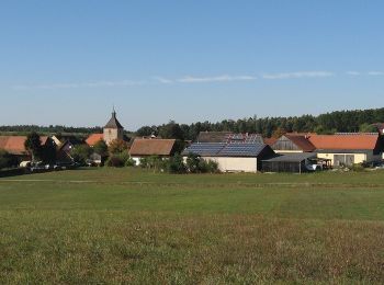
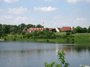
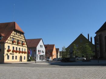
Allersberg: Descubra las mejores excursiones: 8 a pie. Todos estos circuitos, recorridos, itinerarios y actividades al aire libre están disponibles en nuestras aplicaciones SityTrail para smartphone y tablet.


Los mejores recorridos (8)

Excursión A pie Allersberg - Die Rothsee-Tour - Photo
A pie 23.285
Km
PRO

A pie

Medio
Allersberg, Baviera, Landkreis Roth, Germany
23 km | 27 km-effort
6h 9min
286 m
284 m
SityTrail - itinéraires balisés pédestres

• Übernommen aus einer GPX-Vorlage des Landkreises, mit Genehmigung des Amtes für Kultur und Tourismus (siehe http://wi...

Excursión A pie Allersberg - Quellen am Rothsee - Photo
A pie 6.121
Km
PRO

A pie

Fácil
Allersberg, Baviera, Landkreis Roth, Germany
6,1 km | 7,3 km-effort
1h 39min
88 m
90 m
SityTrail - itinéraires balisés pédestres

• Trail created by Markt Allersberg. Symbol: t.b.d.

Excursión A pie Allersberg - Drahtzieherweg westliche Schleife - Photo
A pie 11.261
Km
PRO

A pie

Fácil
Allersberg, Baviera, Landkreis Roth, Germany
11,3 km | 13 km-effort
2h 57min
134 m
134 m
SityTrail - itinéraires balisés pédestres

• Trail created by Markt Allersberg. Symbol: t.b.d.

Excursión A pie Allersberg - Rundwanderweg Europäische Wasserscheide - Photo
A pie 9.395
Km
PRO

A pie

Fácil
Allersberg, Baviera, Landkreis Roth, Germany
9,4 km | 11 km-effort
2h 30min
121 m
121 m
SityTrail - itinéraires balisés pédestres

• Trail created by Markt Allersberg. Symbol: t.b.d.

Excursión A pie Allersberg - Rothsee Rundweg No.5 - Photo
A pie 13.218
Km
PRO

A pie

Fácil
Allersberg, Baviera, Landkreis Roth, Germany
13,2 km | 15,7 km-effort
3h 34min
189 m
189 m
SityTrail - itinéraires balisés pédestres

• Trail created by Zweckverband Rothsee. abgeschlossen (Nov. 2013 by cycling_zno) Symbol: Weisse 5 auf blauem Grund

Excursión A pie Allersberg - Alter Kirchenweg - Photo
A pie 7.781
Km
PRO

A pie

Fácil
Allersberg, Baviera, Landkreis Roth, Germany
7,8 km | 9,6 km-effort
2h 10min
149 m
97 m
No
SityTrail - itinéraires balisés pédestres

• Trail created by Gemeinde Pyrbaum. abgeschlossen (Jan. 2013 by cycling_zno) Symbol: schwarze Kirche auf violettem G...

Excursión A pie Allersberg - Rothsee Rundweg No.4 - Photo
A pie 3.025
Km
PRO

A pie

Fácil
Allersberg, Baviera, Landkreis Roth, Germany
3 km | 3,5 km-effort
47min
34 m
42 m
No
SityTrail - itinéraires balisés pédestres

• Trail created by Zweckverband Rothsee. abgeschlossen (Nov. 2013 by cycling_zno) Symbol: Weisse 4 auf blauem Grund

Excursión A pie Allersberg - Drahtzieherweg östliche Schleife - Photo
A pie 3.32
Km
PRO

A pie

Fácil
Allersberg, Baviera, Landkreis Roth, Germany
3,3 km | 3,8 km-effort
52min
35 m
53 m
No
SityTrail - itinéraires balisés pédestres

• Trail created by Markt Allersberg. Symbol: t.b.d.

8 excursiones mostradas en 8

Aplicación GPS de excursión GRATIS

Logo SityTrail SityTrail

IGN / Institutos geográficos

Descargar SityTrail en App Store Descargar SityTrail en Google Play

Logo SityTrail SityTrail World

El mundo es suyo

Descargar SityTrail en App Store Descargar SityTrail en Google Play Descargar SityTrail en Huawei AppGallery

Actividades

Cerrar
Mis suscripciones