


6,4 km | 8 km-effort
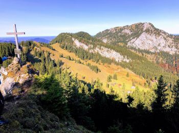
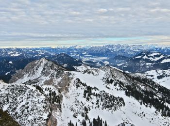
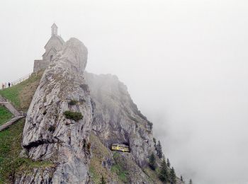
Bayrischzell: Descubra las mejores excursiones: 9 a pie. Todos estos circuitos, recorridos, itinerarios y actividades al aire libre están disponibles en nuestras aplicaciones SityTrail para smartphone y tablet.
A pie


• Trail created by DSV nordic aktiv ZENTRUM. Symbol: Rotes Schild mit weißem Pfeil
A pie
• Trail created by Kuramt Bayrischzell. Alte Markierungen Symbol: Gelbe, ovale Blechschilder mit der Beschriftung B1
A pie
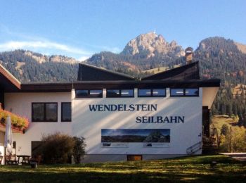
• Trail created by Wendelsteinbahn GmbH. Symbol: Weißes W umrundet von einem weißen Kreis auf blauem Hintergrund
A pie
• Trail created by Wendelsteinbahn GmbH. Symbol: Weißes W umrundet von einem weißen Kreis auf blauem Hintergrund
A pie
• Trail created by Wendelsteinbahn GmbH. Symbol: Weißes W umrundet von einem weißen Kreis auf blauem Hintergrund
A pie
• Trail created by Gemeinde Fischbachau; DAV Sektion Bad Aibling. Symbol: Gelbe Schilder mit schwarzer Schrift
A pie
• Trail created by Wendelsteinbahn GmbH. Symbol: Weißes W umrundet von einem weißen Kreis auf blauem Hintergrund
A pie
• Trail created by Gemeinde Bayrischzell.

A pie
• Symbol: Grüne Schilder mit weißer Schrift
9 excursiones mostradas en 9
Aplicación GPS de excursión GRATIS
 SityTrail
IGN / Institutos geográficos
SityTrail World
El mundo es suyo