Pottenstein, Landkreis Bayreuth, A pie: Los mejores itinerarios de excursión, recorridos, paseos y sendas

Pottenstein: Descubra las mejores excursiones: 15 a pie. Todos estos circuitos, recorridos, itinerarios y actividades al aire libre están disponibles en nuestras aplicaciones SityTrail para smartphone y tablet.


Los mejores recorridos (15)
Excursión A pie Pottenstein - Rundweg durch die Bärenschlucht - Photo
A pie 5.185
Km
GUIDE+

A pie

Fácil
Pottenstein, Baviera, Landkreis Bayreuth, Germany
5,2 km | 7 km-effort
1h 35min
141 m
130 m
SityTrail - itinéraires balisés pédestres

• Trail created by Stadt Pottenstein. abeschossen (März, 2014 by cycling_zno) Symbol: Roter Ring auf weißem Grund
Excursión A pie Pottenstein - Wallfahrerweg PW2 - Photo
A pie 5.009
Km
GUIDE+

A pie

Fácil
Pottenstein, Baviera, Landkreis Bayreuth, Germany
5 km | 6,6 km-effort
1h 30min
123 m
119 m
SityTrail - itinéraires balisés pédestres

• Trail created by Stadt Pottenstein. Symbol: t.b.d.
Excursión A pie Pottenstein - Wallfahrerweg PW1 - Photo
A pie 12.372
Km
GUIDE+

A pie

Fácil
Pottenstein, Baviera, Landkreis Bayreuth, Germany
12,4 km | 16,8 km-effort
3h 49min
336 m
331 m
SityTrail - itinéraires balisés pédestres

• Trail created by Stadt Pottenstein. Symbol: t.b.d.
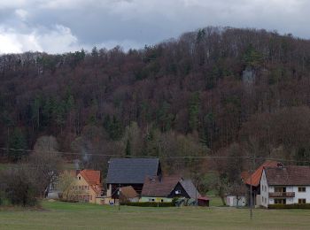
Excursión A pie Pottenstein - Rundweg Pottenstein-Waldacher Forst - Photo
A pie 13.511
Km
GUIDE+

A pie

Fácil
Pottenstein, Baviera, Landkreis Bayreuth, Germany
13,5 km | 18,2 km-effort
4h 8min
355 m
351 m
SityTrail - itinéraires balisés pédestres

• Trail created by Stadt Pottenstein. abeschossen (April 2013 by cycling_zno) Symbol: Schwarzer Ring auf weißem Grund
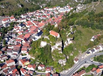
Excursión A pie Pottenstein - Rundweg Pottenstein-Siegmannsbrunn - Photo
A pie 3.982
Km
GUIDE+

A pie

Fácil
Pottenstein, Baviera, Landkreis Bayreuth, Germany
4 km | 5,5 km-effort
1h 15min
115 m
115 m
SityTrail - itinéraires balisés pédestres

• Trail created by Stadt Pottenstein. abeschossen (April 2013 by cycling_zno) Symbol: Gelber Ring auf weißem Grund
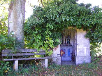
Excursión A pie Pottenstein - Rundweg Haselbrunn - Photo
A pie 4.777
Km
GUIDE+

A pie

Fácil
Pottenstein, Baviera, Landkreis Bayreuth, Germany
4,8 km | 6,5 km-effort
1h 29min
128 m
144 m
SityTrail - itinéraires balisés pédestres

• Trail created by Stadt Pottenstein. abeschossen (April 2013 by cycling_zno) Symbol: Blauer Punkt auf weißem Grund
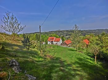
Excursión A pie Pottenstein - Rundweg Püttlach-Ruppertshöhe - Photo
A pie 5.781
Km
GUIDE+

A pie

Fácil
Pottenstein, Baviera, Landkreis Bayreuth, Germany
5,8 km | 8,4 km-effort
1h 53min
193 m
193 m
SityTrail - itinéraires balisés pédestres

• Trail created by Stadt Pottenstein. abeschossen (April 2013 by cycling_zno) Symbol: Blauer Ring auf weißem Grund
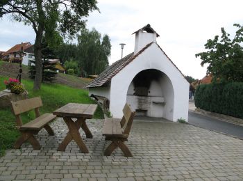
Excursión A pie Pottenstein - Kirchenbirkig-Regenthal-Weidenloh - Photo
A pie 9.96
Km
GUIDE+

A pie

Fácil
Pottenstein, Baviera, Landkreis Bayreuth, Germany
10 km | 12,9 km-effort
2h 56min
225 m
222 m
SityTrail - itinéraires balisés pédestres

• Trail created by Stadt Pottenstein. abeschossen (April 2013 by cycling_zno) Symbol: Grüner Ring auf weißem Grund
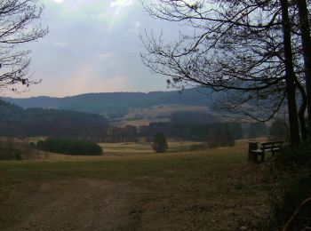
Excursión A pie Pottenstein - Püttlach-Hohenmirsbach - Photo
A pie 8.063
Km
GUIDE+

A pie

Fácil
Pottenstein, Baviera, Landkreis Bayreuth, Germany
8,1 km | 11,6 km-effort
2h 38min
287 m
209 m
No
SityTrail - itinéraires balisés pédestres

• Trail created by Stadt Pottenstein. abeschossen (April 2013 by cycling_zno) Symbol: Grüner Ring auf weißem Grund
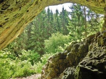
Excursión A pie Pottenstein - Haßlacher Rundwanderweg - Photo
A pie 7.282
Km
GUIDE+

A pie

Fácil
Pottenstein, Baviera, Landkreis Bayreuth, Germany
7,3 km | 9,2 km-effort
2h 6min
147 m
149 m
SityTrail - itinéraires balisés pédestres

• Trail created by Stadt Pottenstein. abeschossen (April 2013 by cycling_zno) Symbol: Gelber Ring auf weißem Grund
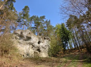
Excursión A pie Pottenstein - Rundweg Püttlach - Photo
A pie 6.095
Km
GUIDE+

A pie

Fácil
Pottenstein, Baviera, Landkreis Bayreuth, Germany
6,1 km | 8 km-effort
1h 49min
144 m
146 m
SityTrail - itinéraires balisés pédestres

• Trail created by Stadt Pottenstein. Symbol: Roter Ring auf weißem Grund

Excursión A pie Pottenstein - Rundweg Rackersberg Arnleithen - Photo
A pie 5.031
Km
GUIDE+

A pie

Fácil
Pottenstein, Baviera, Landkreis Bayreuth, Germany
5 km | 6,6 km-effort
1h 29min
115 m
118 m
SityTrail - itinéraires balisés pédestres

• Trail created by Stadt Pottenstein. abeschossen (April 2013 by cycling_zno) Symbol: Roter Ring auf weißem Grund
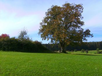
Excursión A pie Pottenstein - Prüllsbirkig Rundweg Grüner Ring - Photo
A pie 4.209
Km
GUIDE+

A pie

Fácil
Pottenstein, Baviera, Landkreis Bayreuth, Germany
4,2 km | 5,7 km-effort
1h 17min
111 m
114 m
SityTrail - itinéraires balisés pédestres

• Symbol: grüner Ring

Excursión A pie Pottenstein - Rundweg Tüchersfeld-Weidmanngesees - Photo
A pie 10.233
Km
GUIDE+

A pie

Fácil
Pottenstein, Baviera, Landkreis Bayreuth, Germany
10,2 km | 13,7 km-effort
3h 7min
264 m
262 m
SityTrail - itinéraires balisés pédestres

• Trail created by Fränkische-Schweiz-Verein. abeschossen (April 2013 by cycling_zno) Symbol: Blauer Ring auf weißem ...

Excursión A pie Pottenstein - Hasenlochhöhle-Waldtempel - Photo
A pie 5.556
Km
GUIDE+

A pie

Fácil
Pottenstein, Baviera, Landkreis Bayreuth, Germany
5,6 km | 7,6 km-effort
1h 44min
156 m
156 m
SityTrail - itinéraires balisés pédestres

• Trail created by Stadt Pottenstein. abeschossen (April 2013 by cycling_zno) Symbol: grüner Punkt auf weißem Grund

15 excursiones mostradas en 15

Aplicación GPS de excursión GRATIS

Logo SityTrail SityTrail

IGN / Institutos geográficos

Descargar SityTrail en App Store Descargar SityTrail en Google Play

Logo SityTrail SityTrail World

El mundo es suyo

Descargar SityTrail en App Store Descargar SityTrail en Google Play Descargar SityTrail en Huawei AppGallery

Actividades

Cerrar
Mis suscripciones