
- Excursiones
- A pie
- Germany
- Baviera
- Landkreis Oberallgäu
Landkreis Oberallgäu, Baviera, A pie: Los mejores itinerarios de excursión, recorridos, paseos y sendas
Landkreis Oberallgäu: Descubra las mejores excursiones: 65 a pie y 9 senderismo. Todos estos circuitos, recorridos, itinerarios y actividades al aire libre están disponibles en nuestras aplicaciones SityTrail para smartphone y tablet.
Los mejores recorridos (74)
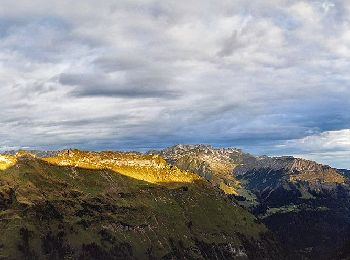
Km
A pie


• Beim »Grenzgänger« handelt es sich um eine Mehrtagestour inmitten der Allgäuer Alpen Sitio web: https://www.grenzgae...

Km
A pie


• Symbol: Beschilderung Alpvielfalt

Km
A pie


• Trail created by Carl-von-Linde-Gymnasium, Kempten. Symbol: weißer Keil auf schwarzem Grund
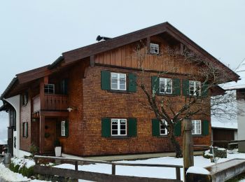
Km
A pie


• Trail created by Tourismus Oberstdorf.
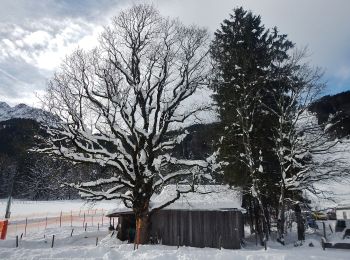
Km
A pie


• Trail created by Tourismus Oberstdorf.
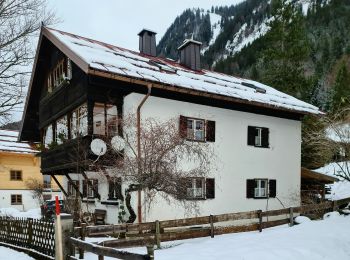
Km
A pie


• Trail created by Tourismus Oberstdorf.
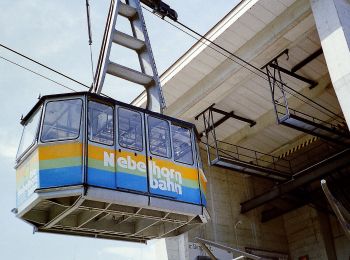
Km
A pie


• Trail created by Tourismus Oberstdorf.
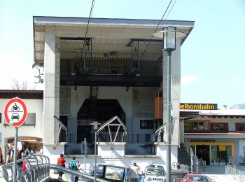
Km
A pie


• Trail created by Tourismus Oberstdorf.
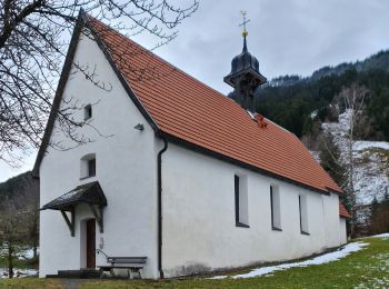
Km
A pie


• Trail created by Tourismus Oberstdorf.
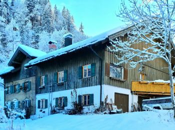
Km
A pie


• Trail created by Tourismus Oberstdorf.

Km
A pie


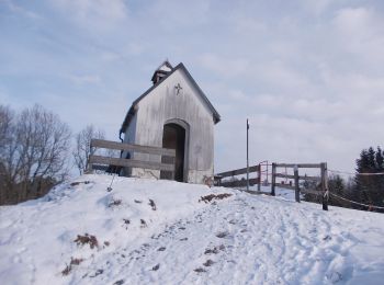
• Trail created by Gemeinde Obermaiselstein. Kein simples Symbol verfügbar. Auf den Wanderwegweisern wird ein Logo mit...
Km
A pie


• Trail created by Markt Sulzberg. Symbol: Weißes R7 auf grünem Grund

Km
A pie


• Trail created by Markt Sulzberg. Symbol: Weißes R4 auf grünem Grund
Km
A pie


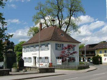
• Trail created by Markt Sulzberg. Symbol: Weißes R3 auf grünem Grund
Km
A pie


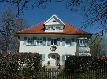
• Trail created by Markt Sulzberg. Symbol: Weißes R12 auf grünem Grund
Km
A pie


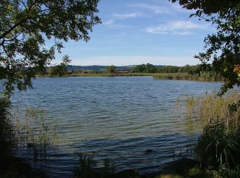
• Trail created by Markt Sulzberg. Symbol: Weißes R9 auf grünem Grund

Km
A pie


• Trail created by Markt Sulzberg. Symbol: Weißes R10 auf grünem Grund

Km
A pie


• Trail created by Markt Sulzberg. Symbol: Weißes R2 auf grünem Grund

Km
A pie


• Trail created by Markt Sulzberg. Symbol: Weißes R5 auf grünem Grund

Km
A pie


• Trail created by Markt Sulzberg. Symbol: Weißes R6 auf grünem Grund
20 excursiones mostradas en 74
Aplicación GPS de excursión GRATIS


 SityTrail


