![](/images/other/stat-length.png)
- Excursiones
- A pie
- Germany
- Sajonia
- Erzgebirgskreis
Erzgebirgskreis, Sajonia, A pie: Los mejores itinerarios de excursión, recorridos, paseos y sendas
Erzgebirgskreis: Descubra las mejores excursiones: 187 a pie. Todos estos circuitos, recorridos, itinerarios y actividades al aire libre están disponibles en nuestras aplicaciones SityTrail para smartphone y tablet.
Los mejores recorridos (187)
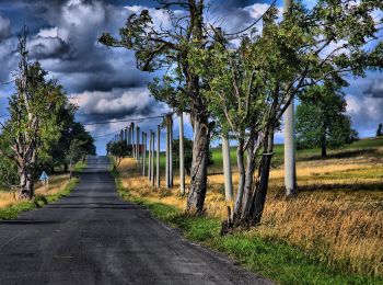
![Excursión A pie Deutschneudorf - Zážitková NS „Dvě země – jeden region“ - Photo](https://media.geolcdn.com/t/350/260/c1953bd8-06bc-4923-b246-872d46d52f93.jpeg&format=jpg&maxdim=2)
![A pie A pie](https://static1.geolcdn.com/sitytour/trail-icons/100.png)
Km
A pie
![](/images/other/stat-length.png)
![](https://static1.geolcdn.com/siteimages/upload/files/1508320355ic_sort_den_pos_24dp.png)
![](https://static1.geolcdn.com/siteimages/upload/files/1508320355ic_sort_den_neg_24dp.png)
![](https://static1.geolcdn.com/siteimages/upload/files/16400158638029165_repeat_loop_refresh_sync_direction_icon.png)
• Ruta creada por Turistické informační centrum „Lesenská pláň“.
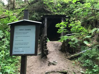
![Excursión A pie Eibenstock - Drei-Talsperren-Wanderung - Photo](https://media.geolcdn.com/t/350/260/ecada158-b68e-4689-b06a-ba3bf0a44e6c.jpeg&format=jpg&maxdim=2)
![A pie A pie](https://static1.geolcdn.com/sitytour/trail-icons/100.png)
Km
A pie
![](/images/other/stat-length.png)
![](https://static1.geolcdn.com/siteimages/upload/files/1508320355ic_sort_den_pos_24dp.png)
![](https://static1.geolcdn.com/siteimages/upload/files/1508320355ic_sort_den_neg_24dp.png)
![](https://static1.geolcdn.com/siteimages/upload/files/16400158638029165_repeat_loop_refresh_sync_direction_icon.png)
• Símbolo: roter Strich, weißer Grund
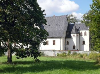
![Excursión A pie Pockau-Lengefeld - Naturlehrpfad An der Saidenbachtalsperre - Photo](https://media.geolcdn.com/t/350/260/63d96c83-5b2e-444d-a3a8-263517f9c7ff.jpeg&format=jpg&maxdim=2)
![A pie A pie](https://static1.geolcdn.com/sitytour/trail-icons/100.png)
Km
A pie
![](/images/other/stat-length.png)
![](https://static1.geolcdn.com/siteimages/upload/files/1508320355ic_sort_den_pos_24dp.png)
![](https://static1.geolcdn.com/siteimages/upload/files/1508320355ic_sort_den_neg_24dp.png)
![](https://static1.geolcdn.com/siteimages/upload/files/16400158638029165_repeat_loop_refresh_sync_direction_icon.png)
• Trail created by Stadt Pockau-Lengefeld.
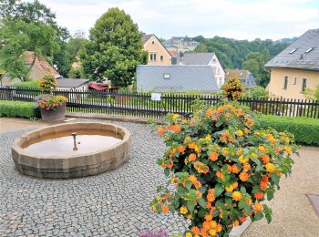
![Excursión A pie Zschopau - Ww Zschopau - Krumhermersdorf, Markierung mangelhaft - Photo](https://media.geolcdn.com/t/350/260/4f22bfa5-00bf-43a9-8e8c-e2e95b5e7abf.jpeg&format=jpg&maxdim=2)
![A pie A pie](https://static1.geolcdn.com/sitytour/trail-icons/100.png)
Km
A pie
![](/images/other/stat-length.png)
![](https://static1.geolcdn.com/siteimages/upload/files/1508320355ic_sort_den_pos_24dp.png)
![](https://static1.geolcdn.com/siteimages/upload/files/1508320355ic_sort_den_neg_24dp.png)
![](https://static1.geolcdn.com/siteimages/upload/files/16400158638029165_repeat_loop_refresh_sync_direction_icon.png)
• Symbol: gelber Strich weißer Grund
![Excursión A pie Zschopau - Zschopau - über Bodemerkanzel - Reinhardshöhe - Wilichthal - Photo](https://media.geolcdn.com/t/350/260/4f22bfa5-00bf-43a9-8e8c-e2e95b5e7abf.jpeg&format=jpg&maxdim=2)
![A pie A pie](https://static1.geolcdn.com/sitytour/trail-icons/100.png)
Km
A pie
![](/images/other/stat-length.png)
![](https://static1.geolcdn.com/siteimages/upload/files/1508320355ic_sort_den_pos_24dp.png)
![](https://static1.geolcdn.com/siteimages/upload/files/1508320355ic_sort_den_neg_24dp.png)
![](https://static1.geolcdn.com/siteimages/upload/files/16400158638029165_repeat_loop_refresh_sync_direction_icon.png)
• Symbol: grüner Strich weißer Grund
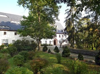
![Excursión A pie Amtsberg - Ww Weißbach - Gelenau, Markierung mangelhaft - Photo](https://media.geolcdn.com/t/350/260/ad548371-9d45-4b49-91eb-74ac77ca3f7f.jpeg&format=jpg&maxdim=2)
![A pie A pie](https://static1.geolcdn.com/sitytour/trail-icons/100.png)
Km
A pie
![](/images/other/stat-length.png)
![](https://static1.geolcdn.com/siteimages/upload/files/1508320355ic_sort_den_pos_24dp.png)
![](https://static1.geolcdn.com/siteimages/upload/files/1508320355ic_sort_den_neg_24dp.png)
![](https://static1.geolcdn.com/siteimages/upload/files/16400158638029165_repeat_loop_refresh_sync_direction_icon.png)
• Symbol: grüner Strich weißer Grund
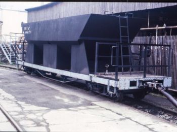
![Excursión A pie Amtsberg - Rundweg Weißbach z.T. fehlende Markierung - Photo](https://media.geolcdn.com/t/350/260/02edd715-eb14-4318-85b1-e0416a3d52ba.jpeg&format=jpg&maxdim=2)
![A pie A pie](https://static1.geolcdn.com/sitytour/trail-icons/100.png)
Km
A pie
![](/images/other/stat-length.png)
![](https://static1.geolcdn.com/siteimages/upload/files/1508320355ic_sort_den_pos_24dp.png)
![](https://static1.geolcdn.com/siteimages/upload/files/1508320355ic_sort_den_neg_24dp.png)
![](https://static1.geolcdn.com/siteimages/upload/files/16400158638029165_repeat_loop_refresh_sync_direction_icon.png)
• Symbol: gelber Strich weißer Grund
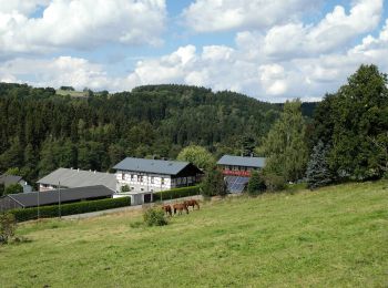
![Excursión A pie Thermalbad Wiesenbad - Ww Thermalbad Wiesenbad - Himmelmühle über Streckewalde - Photo](https://media.geolcdn.com/t/350/260/88b31219-27a8-4ef0-9f5a-85885521a6fa.jpeg&format=jpg&maxdim=2)
![A pie A pie](https://static1.geolcdn.com/sitytour/trail-icons/100.png)
Km
A pie
![](/images/other/stat-length.png)
![](https://static1.geolcdn.com/siteimages/upload/files/1508320355ic_sort_den_pos_24dp.png)
![](https://static1.geolcdn.com/siteimages/upload/files/1508320355ic_sort_den_neg_24dp.png)
![](https://static1.geolcdn.com/siteimages/upload/files/16400158638029165_repeat_loop_refresh_sync_direction_icon.png)
• Symbol: gelber Strich weißer Grund
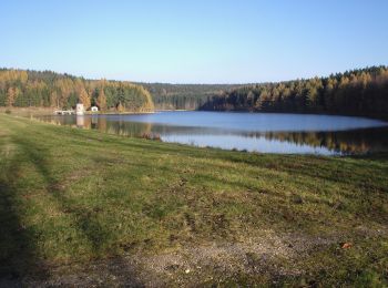
![Excursión A pie Stollberg/Erzgebirge - Naturlehrpfad - Photo](https://media.geolcdn.com/t/350/260/faf5041a-1f48-4c9e-a072-6e5a36ff1d74.jpeg&format=jpg&maxdim=2)
![A pie A pie](https://static1.geolcdn.com/sitytour/trail-icons/100.png)
Km
A pie
![](/images/other/stat-length.png)
![](https://static1.geolcdn.com/siteimages/upload/files/1508320355ic_sort_den_pos_24dp.png)
![](https://static1.geolcdn.com/siteimages/upload/files/1508320355ic_sort_den_neg_24dp.png)
![](https://static1.geolcdn.com/siteimages/upload/files/16400158638029165_repeat_loop_refresh_sync_direction_icon.png)
• Symbol: grüner Diagonaler Strich (von o.l. nach u.r.) auf weissem Grund
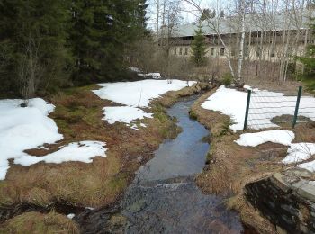
![Excursión A pie Geyer - Ww Gaststätte Fernsehturm-Jugendherberge Hormersdorf - Photo](https://media.geolcdn.com/t/350/260/06ae0903-1b95-49cd-9464-e825441fc91a.jpeg&format=jpg&maxdim=2)
![A pie A pie](https://static1.geolcdn.com/sitytour/trail-icons/100.png)
Km
A pie
![](/images/other/stat-length.png)
![](https://static1.geolcdn.com/siteimages/upload/files/1508320355ic_sort_den_pos_24dp.png)
![](https://static1.geolcdn.com/siteimages/upload/files/1508320355ic_sort_den_neg_24dp.png)
![](https://static1.geolcdn.com/siteimages/upload/files/16400158638029165_repeat_loop_refresh_sync_direction_icon.png)
• Symbol: gelber Strich, weißer Grund
![Excursión A pie Seiffen/Erzgebirge - Ww Seiffen - Neuhausen - Photo](https://media.geolcdn.com/t/350/260/dc67c22f-a0c2-4015-b761-f7d5492bf682.jpeg&format=jpg&maxdim=2)
![A pie A pie](https://static1.geolcdn.com/sitytour/trail-icons/100.png)
Km
A pie
![](/images/other/stat-length.png)
![](https://static1.geolcdn.com/siteimages/upload/files/1508320355ic_sort_den_pos_24dp.png)
![](https://static1.geolcdn.com/siteimages/upload/files/1508320355ic_sort_den_neg_24dp.png)
![](https://static1.geolcdn.com/siteimages/upload/files/16400158638029165_repeat_loop_refresh_sync_direction_icon.png)
• Symbol: gelber Strich, weißer Grund
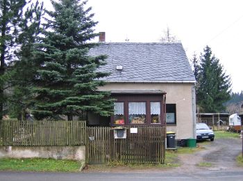
![Excursión A pie Schneeberg - Ww Lindenau - Forstteich - Waldschänke - Drei Häuser - Photo](https://media.geolcdn.com/t/350/260/c772a634-f3dd-4fbc-bba3-95ff3dfb7b4f.jpeg&format=jpg&maxdim=2)
![A pie A pie](https://static1.geolcdn.com/sitytour/trail-icons/100.png)
Km
A pie
![](/images/other/stat-length.png)
![](https://static1.geolcdn.com/siteimages/upload/files/1508320355ic_sort_den_pos_24dp.png)
![](https://static1.geolcdn.com/siteimages/upload/files/1508320355ic_sort_den_neg_24dp.png)
![](https://static1.geolcdn.com/siteimages/upload/files/16400158638029165_repeat_loop_refresh_sync_direction_icon.png)
• Symbol: gelber Strich, weißer Grund
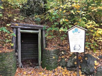
![Excursión A pie Lauter-Bernsbach - Ww Lauter - Aue gelb markiert - Photo](https://media.geolcdn.com/t/350/260/b9ce6b54-e845-4385-a4aa-2d22958f4cbf.jpeg&format=jpg&maxdim=2)
![A pie A pie](https://static1.geolcdn.com/sitytour/trail-icons/100.png)
Km
A pie
![](/images/other/stat-length.png)
![](https://static1.geolcdn.com/siteimages/upload/files/1508320355ic_sort_den_pos_24dp.png)
![](https://static1.geolcdn.com/siteimages/upload/files/1508320355ic_sort_den_neg_24dp.png)
![](https://static1.geolcdn.com/siteimages/upload/files/16400158638029165_repeat_loop_refresh_sync_direction_icon.png)
• Symbol: gelber Strich, weißer Grund
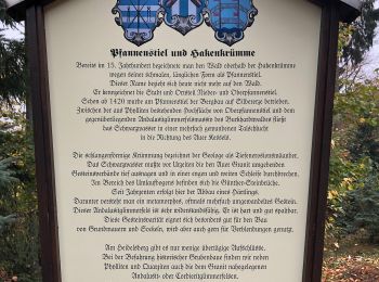
![Excursión A pie Schwarzenberg/Erzgebirge - Ww Schwarzenberg/Neuwelt - Lauter - Aue rot markiert - Photo](https://media.geolcdn.com/t/350/260/5048c953-92e6-49a0-ae8a-77773145c6a8.jpeg&format=jpg&maxdim=2)
![A pie A pie](https://static1.geolcdn.com/sitytour/trail-icons/100.png)
Km
A pie
![](/images/other/stat-length.png)
![](https://static1.geolcdn.com/siteimages/upload/files/1508320355ic_sort_den_pos_24dp.png)
![](https://static1.geolcdn.com/siteimages/upload/files/1508320355ic_sort_den_neg_24dp.png)
![](https://static1.geolcdn.com/siteimages/upload/files/16400158638029165_repeat_loop_refresh_sync_direction_icon.png)
• Symbol: roter Strich weißer Grund
![Excursión A pie Eibenstock - Talsperrenrundweg - Photo](https://media.geolcdn.com/t/350/260/5428c129-249d-4105-b24b-78b8ea5d3181.jpeg&format=jpg&maxdim=2)
![A pie A pie](https://static1.geolcdn.com/sitytour/trail-icons/100.png)
Km
A pie
![](/images/other/stat-length.png)
![](https://static1.geolcdn.com/siteimages/upload/files/1508320355ic_sort_den_pos_24dp.png)
![](https://static1.geolcdn.com/siteimages/upload/files/1508320355ic_sort_den_neg_24dp.png)
![](https://static1.geolcdn.com/siteimages/upload/files/16400158638029165_repeat_loop_refresh_sync_direction_icon.png)
• Symbol: gelber Strich, weißer Grund
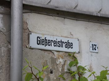
![Excursión A pie Eibenstock - Ww Auersberg - Eibenstock - Schönheide - Kuhberg - Hahnenhäuser - Rodewisch(Bhf) z.T. VPW - Photo](https://media.geolcdn.com/t/350/260/0d80a521-1a84-4fcb-80a6-2afb4122eb87.jpeg&format=jpg&maxdim=2)
![A pie A pie](https://static1.geolcdn.com/sitytour/trail-icons/100.png)
Km
A pie
![](/images/other/stat-length.png)
![](https://static1.geolcdn.com/siteimages/upload/files/1508320355ic_sort_den_pos_24dp.png)
![](https://static1.geolcdn.com/siteimages/upload/files/1508320355ic_sort_den_neg_24dp.png)
![](https://static1.geolcdn.com/siteimages/upload/files/16400158638029165_repeat_loop_refresh_sync_direction_icon.png)
• Symbol: blauer Strich, weißer Grund
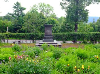
![Excursión A pie Johanngeorgenstadt - Ww Blauenthal - Auersberg -Weiterswiese - Johanngeorgenstadt Bahnhof - Photo](https://media.geolcdn.com/t/350/260/cf4b1f68-aa2a-4d83-95f7-333d309821d3.jpeg&format=jpg&maxdim=2)
![A pie A pie](https://static1.geolcdn.com/sitytour/trail-icons/100.png)
Km
A pie
![](/images/other/stat-length.png)
![](https://static1.geolcdn.com/siteimages/upload/files/1508320355ic_sort_den_pos_24dp.png)
![](https://static1.geolcdn.com/siteimages/upload/files/1508320355ic_sort_den_neg_24dp.png)
![](https://static1.geolcdn.com/siteimages/upload/files/16400158638029165_repeat_loop_refresh_sync_direction_icon.png)
• Symbol: grüner Strich weißer Grund
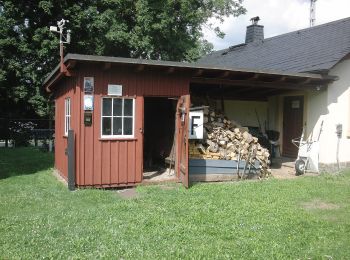
![Excursión A pie Crottendorf - Ww Rundweg Walthersdorf - Photo](https://media.geolcdn.com/t/350/260/8b34d95c-a402-4c14-8c20-67c2b1b3f335.jpeg&format=jpg&maxdim=2)
![A pie A pie](https://static1.geolcdn.com/sitytour/trail-icons/100.png)
Km
A pie
![](/images/other/stat-length.png)
![](https://static1.geolcdn.com/siteimages/upload/files/1508320355ic_sort_den_pos_24dp.png)
![](https://static1.geolcdn.com/siteimages/upload/files/1508320355ic_sort_den_neg_24dp.png)
![](https://static1.geolcdn.com/siteimages/upload/files/16400158638029165_repeat_loop_refresh_sync_direction_icon.png)
• Symbol: grüner Pfeilkreis auf weißem Grund
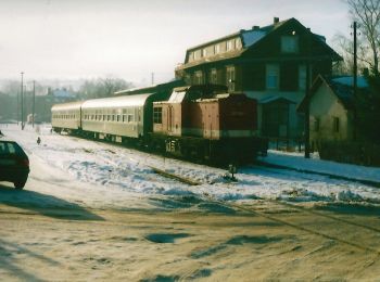
![Excursión A pie Crottendorf - Ww Crottendorfer Rundwanderweg - Photo](https://media.geolcdn.com/t/350/260/1e6279bf-2199-43c8-9e72-3465a5407c8f.jpeg&format=jpg&maxdim=2)
![A pie A pie](https://static1.geolcdn.com/sitytour/trail-icons/100.png)
Km
A pie
![](/images/other/stat-length.png)
![](https://static1.geolcdn.com/siteimages/upload/files/1508320355ic_sort_den_pos_24dp.png)
![](https://static1.geolcdn.com/siteimages/upload/files/1508320355ic_sort_den_neg_24dp.png)
![](https://static1.geolcdn.com/siteimages/upload/files/16400158638029165_repeat_loop_refresh_sync_direction_icon.png)
• Symbol: grüner Strich, weißer Grund
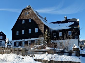
![Excursión A pie Seiffen/Erzgebirge - Ww Seiffen-Deutschneudorf - Photo](https://media.geolcdn.com/t/350/260/fce6cc9d-1f81-4a87-9b6a-8be4faec99cb.jpeg&format=jpg&maxdim=2)
![A pie A pie](https://static1.geolcdn.com/sitytour/trail-icons/100.png)
Km
A pie
![](/images/other/stat-length.png)
![](https://static1.geolcdn.com/siteimages/upload/files/1508320355ic_sort_den_pos_24dp.png)
![](https://static1.geolcdn.com/siteimages/upload/files/1508320355ic_sort_den_neg_24dp.png)
![](https://static1.geolcdn.com/siteimages/upload/files/16400158638029165_repeat_loop_refresh_sync_direction_icon.png)
• Symbol: grüner Strich, weißer Grund
20 excursiones mostradas en 187
Aplicación GPS de excursión GRATIS
Actividades
Regiones próximas
- Amtsberg
- Annaberg-Buchholz
- Aue-Bad Schlema
- Auerbach
- Bärenstein
- Bockau
- Börnichen
- Breitenbrunn/Erzgebirge
- Burkhardtsdorf
- Crottendorf
- Deutschneudorf
- Drebach
- Ehrenfriedersdorf
- Eibenstock
- Gelenau/Erzgebirge
- Geyer
- Gornau
- Großolbersdorf
- Großrückerswalde
- Grünhain-Beierfeld
- Grünhainichen
- Johanngeorgenstadt
- Jöhstadt
- Königswalde
- Lauter-Bernsbach
- Lößnitz
- Marienberg
- Mildenau
- Neukirchen/Erzgebirge
- Oberwiesenthal
- Olbernhau
- Pockau-Lengefeld
- Raschau-Markersbach
- Schlettau
- Schneeberg
- Schönheide
- Schwarzenberg/Erzgebirge
- Sehmatal
- Seiffen/Erzgebirge
- Stollberg/Erzgebirge
- Stützengrün
- Tannenberg
- Thalheim/Erzgebirge
- Thermalbad Wiesenbad
- Thum
- Wolkenstein
- Zschopau
- Zschorlau
- Zwönitz