


11,5 km | 19,5 km-effort
Anniviers: Descubra las mejores excursiones: 5 a pie, 84 senderismo, 3 marcha nórdica, 1 carrera y 1 ruta. Todos estos circuitos, recorridos, itinerarios y actividades al aire libre están disponibles en nuestras aplicaciones SityTrail para smartphone y tablet.
Senderismo


• Start at top of cable train St LucL
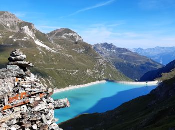
Senderismo
• Start at top of cable car Grimentz Sorebois
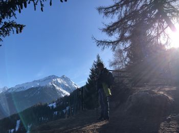
A pie
• Chandolin-St Luc
A pie
• Symbol: weiss-rot-weiss

Senderismo
Senderismo
Senderismo
Senderismo

A pie
Senderismo
• Assez fastoche mais juste
Senderismo
Senderismo
Senderismo
Senderismo
Marcha nórdica

A pie
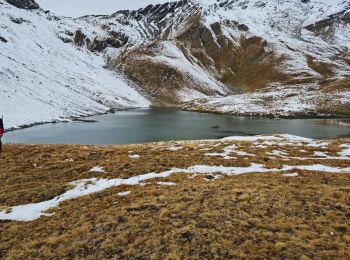
• Tignousa-Le Tsapé
Senderismo
Senderismo
Senderismo
•
Senderismo
20 excursiones mostradas en 94
Aplicación GPS de excursión GRATIS
 SityTrail
IGN / Institutos geográficos
SityTrail World
El mundo es suyo