


13,1 km | 14,2 km-effort
Turnhout: Descubra las mejores excursiones: 10 senderismo, 1 carrera y 1 ruta. Todos estos circuitos, recorridos, itinerarios y actividades al aire libre están disponibles en nuestras aplicaciones SityTrail para smartphone y tablet.
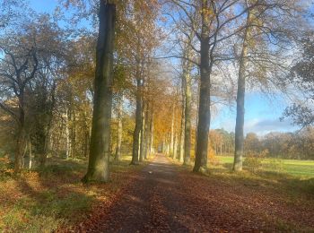
Senderismo


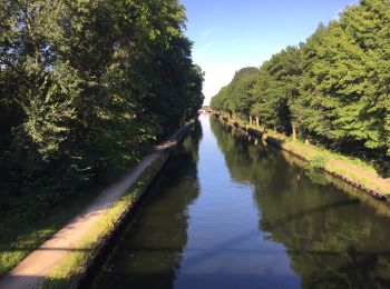
Senderismo

Senderismo
• More information on : http://www.wandelroutes.org
Senderismo
• More information on : http://www.wandelroutes.org
Senderismo
• More information on : http://www.wandelroutes.org
Senderismo
• Turnhout wordt algemeen beschouwd als de hoofdstad van de Kempen. Niettegenstaande zijn kleine oppervlakte zijn er he...
Senderismo
•
Senderismo
Senderismo

Carrera
Senderismo
Ruta
12 excursiones mostradas en 12
Aplicación GPS de excursión GRATIS
 SityTrail
IGN / Institutos geográficos
SityTrail World
El mundo es suyo