


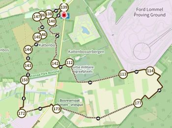
11,4 km | 12,2 km-effort
Lommel: Descubra las mejores excursiones: 13 a pie, 44 senderismo y 1 marcha nórdica. Todos estos circuitos, recorridos, itinerarios y actividades al aire libre están disponibles en nuestras aplicaciones SityTrail para smartphone y tablet.
A pie


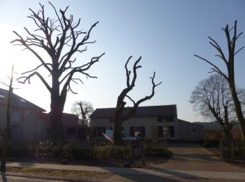
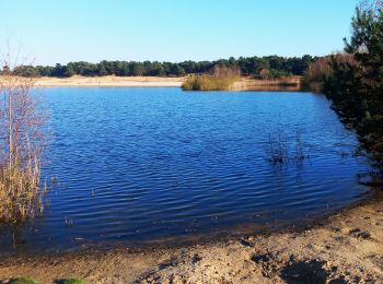
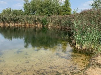
• Bosland is overdadig genieten van verrassende natuur, elke dag weer een beetje anders. Voor kinderen is Bosland één g...
A pie
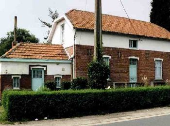
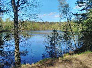
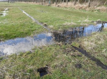
• Bosland is overdadig genieten van verrassende natuur, elke dag weer een beetje anders. Voor kinderen is Bosland één g...
A pie
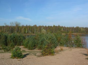
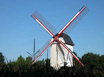
• Bosland is overdadig genieten van verrassende natuur, elke dag weer een beetje anders. Voor kinderen is Bosland één g...
A pie
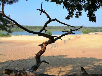
• Trail created by Bosland. Sitio web: https://www.natuurpunt.be/natuurgebied/buitengoor-de-maat-den-diel
A pie
• Symbol: rectangle
A pie
• Symbol: disk
A pie
• Trail created by Regionaal Landschap Lage Kempen. Symbol: dot
A pie
• Symbol: triangle
A pie
• Trail created by Bosland. Symbol: disk
A pie
• Trail created by Bosland. Symbol: triangle
A pie
• Symbol: disk
Senderismo
Senderismo
Senderismo

Senderismo
Senderismo
Senderismo
A pie
• Symbol: dragonfly
A pie
• Symbol: triangle
Senderismo
20 excursiones mostradas en 58
Aplicación GPS de excursión GRATIS
 SityTrail
IGN / Institutos geográficos
SityTrail World
El mundo es suyo