


5,7 km | 6,8 km-effort
Nivelles: Descubra las mejores excursiones: 9 a pie, 118 senderismo, 14 marcha nórdica y 1 carrera. Todos estos circuitos, recorridos, itinerarios y actividades al aire libre están disponibles en nuestras aplicaciones SityTrail para smartphone y tablet.
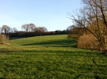
Senderismo


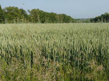
Senderismo
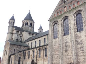
• Cette promenade vous emmènera à la découverte de Nivelles et de son magnifique parc de la Dodaine, dont les origines ...
Senderismo
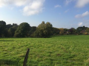
Senderismo

Senderismo

Senderismo
Senderismo
Senderismo
Senderismo
Senderismo
Senderismo
Senderismo
• version écourtée de la promenade "Les Tchambourées", une classique de la région ___www.marcheursdumardi.be___
Senderismo
Senderismo
Senderismo
Senderismo
Senderismo
Senderismo
Senderismo

Senderismo
• Dans les bois du planti et de l'hopital en passant par les campagnes environnantes___www.marcheursdumardi.be___
20 excursiones mostradas en 142
Aplicación GPS de excursión GRATIS
 SityTrail
IGN / Institutos geográficos
SityTrail World
El mundo es suyo