![](/images/other/stat-length.png)
- Excursiones
- A pie
- Belgium
- Valonia
- Namur
Namur, Valonia, A pie: Los mejores itinerarios de excursión, recorridos, paseos y sendas
Namur: Descubra las mejores excursiones: 1196 a pie, 9994 senderismo, 617 marcha nórdica, 426 carrera y 170 ruta. Todos estos circuitos, recorridos, itinerarios y actividades al aire libre están disponibles en nuestras aplicaciones SityTrail para smartphone y tablet.
Los mejores recorridos (12333)
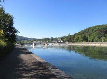
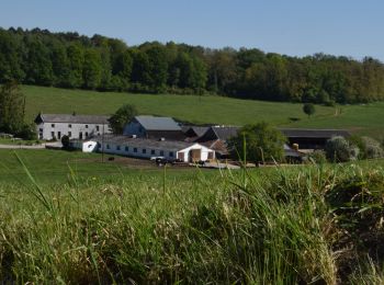
![Excursión Senderismo Profondeville - GG-Na-19_ Lustin - Namur - Photo](https://media.geolcdn.com/t/350/260/b0b5ef2e-bf0c-4965-a3a2-62d0da2d07c7.jpg&format=jpg&maxdim=2)
![Senderismo Senderismo](https://static1.geolcdn.com/sitytour/trail-icons/101.png)
Km
Senderismo
![](/images/other/stat-length.png)
![](https://static1.geolcdn.com/siteimages/upload/files/1508320355ic_sort_den_pos_24dp.png)
![](https://static1.geolcdn.com/siteimages/upload/files/1508320355ic_sort_den_neg_24dp.png)
![](https://static1.geolcdn.com/siteimages/upload/files/16400158638029165_repeat_loop_refresh_sync_direction_icon.png)
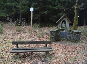
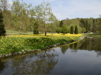
![Excursión Senderismo Anhée - RB-Na-22-raccourci_Vignobles-et-Jardins-d’eau - Photo](https://media.geolcdn.com/t/350/260/9e39c4d6-ac1b-4acf-9686-7baae428f1a0.jpg&format=jpg&maxdim=2)
![Senderismo Senderismo](https://static1.geolcdn.com/sitytour/trail-icons/101.png)
Km
Senderismo
![](/images/other/stat-length.png)
![](https://static1.geolcdn.com/siteimages/upload/files/1508320355ic_sort_den_pos_24dp.png)
![](https://static1.geolcdn.com/siteimages/upload/files/1508320355ic_sort_den_neg_24dp.png)
![](https://static1.geolcdn.com/siteimages/upload/files/16400158638029165_repeat_loop_refresh_sync_direction_icon.png)
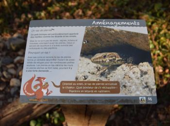
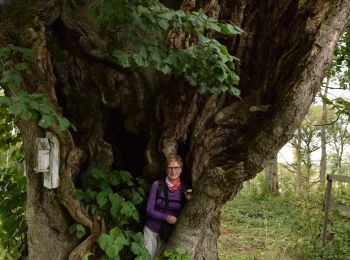
![Excursión Senderismo Anhée - RB-Na-22_Vignobles-et-Jardins-d’eau - Photo](https://media.geolcdn.com/t/350/260/8622883f-03f3-4eff-8458-0cb9f1aba19e.jpg&format=jpg&maxdim=2)
![Senderismo Senderismo](https://static1.geolcdn.com/sitytour/trail-icons/101.png)
Km
Senderismo
![](/images/other/stat-length.png)
![](https://static1.geolcdn.com/siteimages/upload/files/1508320355ic_sort_den_pos_24dp.png)
![](https://static1.geolcdn.com/siteimages/upload/files/1508320355ic_sort_den_neg_24dp.png)
![](https://static1.geolcdn.com/siteimages/upload/files/16400158638029165_repeat_loop_refresh_sync_direction_icon.png)
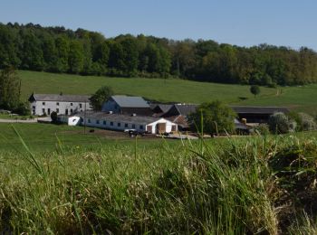
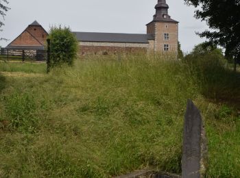
![Excursión Senderismo Assesse - RB-Na-02 Raccourci - Les collines de la vallée du Bocq - Photo](https://media.geolcdn.com/t/350/260/ext.jpg?maxdim=2&url=https%3A%2F%2Fservices.sitytrail.com%2FGeolivesWS%2FDownloadMedia.ashx%3FTrailID%3D794014%26Media%3Dc4c97e29-7bfb-495c-ae56-13528ce8d0b3.JPG)
![Senderismo Senderismo](https://static1.geolcdn.com/sitytour/trail-icons/101.png)
Km
Senderismo
![](/images/other/stat-length.png)
![](https://static1.geolcdn.com/siteimages/upload/files/1508320355ic_sort_den_pos_24dp.png)
![](https://static1.geolcdn.com/siteimages/upload/files/1508320355ic_sort_den_neg_24dp.png)
![](https://static1.geolcdn.com/siteimages/upload/files/16400158638029165_repeat_loop_refresh_sync_direction_icon.png)
• Crupet – Spontin – Centre géographique de Wallonie – Spontin – Durnal – Crupet Remarque : Possibilité de raccourci à...
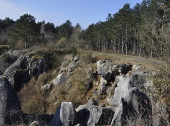
![Excursión Senderismo Couvin - Randonnée géologique - Photo](https://media.geolcdn.com/t/350/260/ext.jpg?maxdim=2&url=https%3A%2F%2Fservices.sitytrail.com%2FGeolivesWS%2FDownloadMedia.ashx%3FTrailID%3D535563%26Media%3D1ffcf5ce-1a74-4050-b18b-23e492a14ad7.jpg)
![Senderismo Senderismo](https://static1.geolcdn.com/sitytour/trail-icons/101.png)
Km
Senderismo
![](/images/other/stat-length.png)
![](https://static1.geolcdn.com/siteimages/upload/files/1508320355ic_sort_den_pos_24dp.png)
![](https://static1.geolcdn.com/siteimages/upload/files/1508320355ic_sort_den_neg_24dp.png)
![](https://static1.geolcdn.com/siteimages/upload/files/16400158638029165_repeat_loop_refresh_sync_direction_icon.png)
![Excursión Senderismo Fosses-la-Ville - Circuit de Belle Eau 2- - Photo](https://media.geolcdn.com/t/350/260/ext.jpg?maxdim=2&url=https%3A%2F%2Fservices.sitytrail.com%2FGeolivesWS%2FDownloadMedia.ashx%3FTrailID%3D402513%26Media%3D8f521a0c-a043-4094-8396-27fd749e1a3d.JPG)
![Senderismo Senderismo](https://static1.geolcdn.com/sitytour/trail-icons/101.png)
Km
Senderismo
![](/images/other/stat-length.png)
![](https://static1.geolcdn.com/siteimages/upload/files/1508320355ic_sort_den_pos_24dp.png)
![](https://static1.geolcdn.com/siteimages/upload/files/1508320355ic_sort_den_neg_24dp.png)
![](https://static1.geolcdn.com/siteimages/upload/files/16400158638029165_repeat_loop_refresh_sync_direction_icon.png)
20 excursiones mostradas en 12333
Aplicación GPS de excursión GRATIS
Actividades
Regiones próximas
- Andenne
- Anhée
- Assesse
- Beauraing
- Bièvre
- Cerfontaine
- Ciney
- Couvin
- Dinant
- Doische
- Éghezée
- Fernelmont
- Floreffe
- Florennes
- Fosses-la-Ville
- Gedinne
- Gembloux
- Gesves
- Hamois
- Hastière
- Havelange
- Houyet
- Jemeppe-sur-Sambre
- La Bruyère
- Mettet
- Namur
- Ohey
- Onhaye
- Philippeville
- Profondeville
- Rochefort
- Sambreville
- Sombreffe
- Somme-Leuze
- Viroinval
- Vresse-sur-Semois
- Walcourt
- Yvoir