


10,1 km | 13,3 km-effort
Jalhay: Descubra las mejores excursiones: 69 a pie, 706 senderismo, 43 marcha nórdica, 66 carrera y 25 ruta. Todos estos circuitos, recorridos, itinerarios y actividades al aire libre están disponibles en nuestras aplicaciones SityTrail para smartphone y tablet.

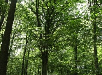
Senderismo


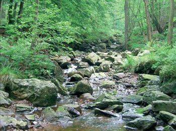
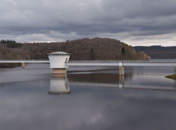
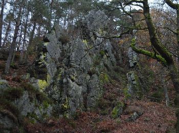
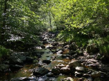
• Au pied du plateau des Hautes Fagnes La balade des ruisseaux Avertissement : le long de la Hoëgne, du ruisseau de B...
Senderismo
• Avertissement : le long de la Hoëgne, du ruisseau de Bilisse et de la Sawe, les racines, les gros blocs de pierre e...
Senderismo

Senderismo
Senderismo
Senderismo
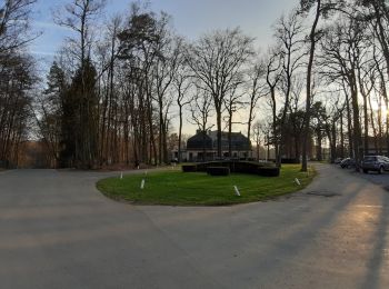
• Infos pratiques Balisage : suivez les rectangles jaunes ensuite les croix jaunes Départ : Eglise de Jalhay Adresse :...
Senderismo
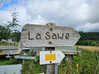
• BALADE 56 : Solwaster - Sawe Infos pratiques Balisage: rectangles jaunes Distance: 12 km Durée: 2h /3h Départ : ...
Senderismo
Carrera
Senderismo

Ruta

Senderismo
• Route created on plotaroute.com

Senderismo
• Route created on plotaroute.com
Senderismo
Senderismo
Senderismo
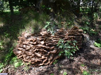
• bucolique

Senderismo
• Au pied du plateau des Hautes Fagnes La balade des ruisseaux Avertissement : le long de la Hoëgne, du ruisseau de B...
Senderismo
•

A pie
• Balisage: rectangles jaunes Distance: 7km Départ : Eglise de Solwaster Adresse: Solwaster 14, 4845 JALHAY Coordonné...
Senderismo
20 excursiones mostradas en 908
Aplicación GPS de excursión GRATIS
 SityTrail
IGN / Institutos geográficos
SityTrail World
El mundo es suyo