


9,8 km | 11,8 km-effort
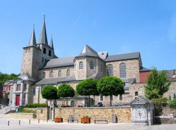
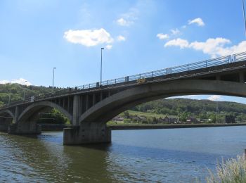
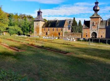
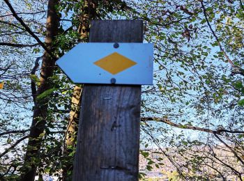
Amay: Descubra las mejores excursiones: 10 a pie, 132 senderismo, 6 marcha nórdica, 10 carrera y 3 ruta. Todos estos circuitos, recorridos, itinerarios y actividades al aire libre están disponibles en nuestras aplicaciones SityTrail para smartphone y tablet.
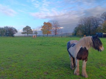
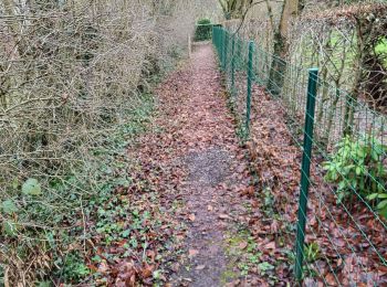
Senderismo


Senderismo
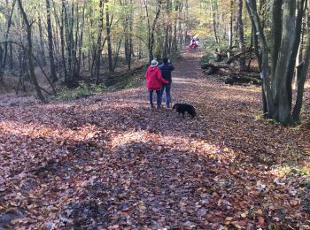
• Super randonner pas trop longue pour redémarrer. Un peux bruillante au début mes qui ce termine dans un endroit magn...
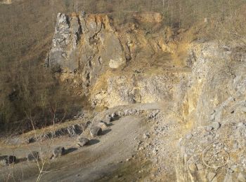
Senderismo
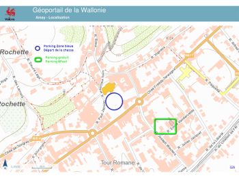
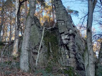
A pie
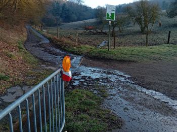
• Trail created by Plan Communal de Développement de la Nature d’Amay.

Senderismo
• Marche de nuit
Senderismo
•
Senderismo
Senderismo
A pie
A pie

A pie
A pie
A pie
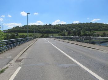
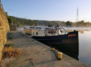
Senderismo
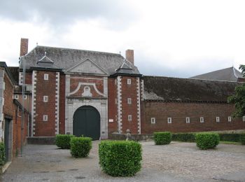
Senderismo
Senderismo
Senderismo
Senderismo
Senderismo
Senderismo
20 excursiones mostradas en 158
Aplicación GPS de excursión GRATIS
 SityTrail
IGN / Institutos geográficos
SityTrail World
El mundo es suyo