


3,8 km | 4,3 km-effort
Victoria: Descubra las mejores excursiones: 33 senderismo. Todos estos circuitos, recorridos, itinerarios y actividades al aire libre están disponibles en nuestras aplicaciones SityTrail para smartphone y tablet.

Senderismo


Senderismo
• Telegraph Saddle to Sailer cove go and return
Senderismo
• Telegraph Saddle to Sailer cove go and return
Senderismo
• round trip
Senderismo
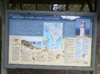
• pack flora and fauna reserve

Senderismo
•
Senderismo
• kangourou kakatou
Senderismo
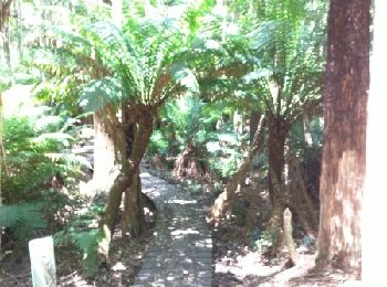
• Cape Schank
Senderismo
Senderismo
Senderismo
Senderismo
Senderismo
• copie sur everytrail
Senderismo
• Origine EveryTrail.com
Senderismo
•
Senderismo
Senderismo
Senderismo
Senderismo
Senderismo
20 excursiones mostradas en 33
Aplicación GPS de excursión GRATIS
 SityTrail
IGN / Institutos geográficos
SityTrail World
El mundo es suyo