![](/images/other/stat-length.png)
- Excursiones
- A pie
- Austria
- Carintia
- Bezirk Hermagor
Bezirk Hermagor, Carintia, A pie: Los mejores itinerarios de excursión, recorridos, paseos y sendas
Bezirk Hermagor: Descubra las mejores excursiones: 8 a pie. Todos estos circuitos, recorridos, itinerarios y actividades al aire libre están disponibles en nuestras aplicaciones SityTrail para smartphone y tablet.
Los mejores recorridos (8)
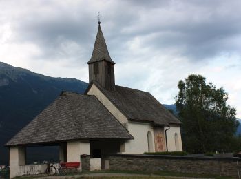
![Excursión A pie Hermagor-Pressegger See - Obervellach (Gasthof Schluga) - Radnig (Naturschwimmbad) - Photo](https://media.geolcdn.com/t/350/260/21dcd30a-77e6-4091-95d2-3f04b24315c4.jpeg&format=jpg&maxdim=2)
![A pie A pie](https://static1.geolcdn.com/sitytour/trail-icons/100.png)
Km
A pie
![](/images/other/stat-length.png)
![](https://static1.geolcdn.com/siteimages/upload/files/1508320355ic_sort_den_pos_24dp.png)
![](https://static1.geolcdn.com/siteimages/upload/files/1508320355ic_sort_den_neg_24dp.png)
![](https://static1.geolcdn.com/siteimages/upload/files/16400158638029165_repeat_loop_refresh_sync_direction_icon.png)
• Symbol: weiß-rot-weiß:13
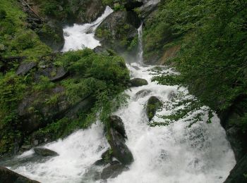
![Excursión A pie Hermagor-Pressegger See - Hermagor - Neudorf - Pressegger See - Paßriach - Photo](https://media.geolcdn.com/t/350/260/a43139e6-e9f7-4222-a9bf-57afc1ee0d3f.jpeg&format=jpg&maxdim=2)
![A pie A pie](https://static1.geolcdn.com/sitytour/trail-icons/100.png)
Km
A pie
![](/images/other/stat-length.png)
![](https://static1.geolcdn.com/siteimages/upload/files/1508320355ic_sort_den_pos_24dp.png)
![](https://static1.geolcdn.com/siteimages/upload/files/1508320355ic_sort_den_neg_24dp.png)
![](https://static1.geolcdn.com/siteimages/upload/files/16400158638029165_repeat_loop_refresh_sync_direction_icon.png)
• Trail created by TIB Stadtgemeinde Hermagor-Pressegger See. Symbol: weiß-rot-weiß:71
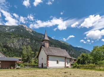
![Excursión A pie Hermagor-Pressegger See - Eggforstweg - Photo](https://media.geolcdn.com/t/350/260/1f190a2a-83bb-4e49-be7f-645e464f0738.jpeg&format=jpg&maxdim=2)
![A pie A pie](https://static1.geolcdn.com/sitytour/trail-icons/100.png)
Km
A pie
![](/images/other/stat-length.png)
![](https://static1.geolcdn.com/siteimages/upload/files/1508320355ic_sort_den_pos_24dp.png)
![](https://static1.geolcdn.com/siteimages/upload/files/1508320355ic_sort_den_neg_24dp.png)
![](https://static1.geolcdn.com/siteimages/upload/files/16400158638029165_repeat_loop_refresh_sync_direction_icon.png)
• Trail created by TIB Stadtgemeinde Hermagor-Pressegger See. Symbol: weiß-rot-weiß:5
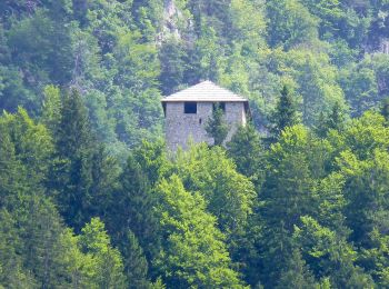
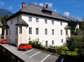
![Excursión A pie Hermagor-Pressegger See - Hermagor - Khünburg - Pressegger See - Photo](https://media.geolcdn.com/t/350/260/ce962579-29ce-4f5a-bdb5-1d854385a927.jpeg&format=jpg&maxdim=2)
![A pie A pie](https://static1.geolcdn.com/sitytour/trail-icons/100.png)
Km
A pie
![](/images/other/stat-length.png)
![](https://static1.geolcdn.com/siteimages/upload/files/1508320355ic_sort_den_pos_24dp.png)
![](https://static1.geolcdn.com/siteimages/upload/files/1508320355ic_sort_den_neg_24dp.png)
![](https://static1.geolcdn.com/siteimages/upload/files/16400158638029165_repeat_loop_refresh_sync_direction_icon.png)
• Trail created by TIB Stadtgemeinde Hermagor-Pressegger See. Symbol: weiß-rot-weiß:12
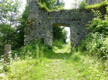
![Excursión A pie Hermagor-Pressegger See - Khünburg - Ruine Khünburg - Obervellacher Stand - Photo](https://media.geolcdn.com/t/350/260/7318d0fb-65ec-4fbc-a298-140da35d7cc4.jpeg&format=jpg&maxdim=2)
![A pie A pie](https://static1.geolcdn.com/sitytour/trail-icons/100.png)
Km
A pie
![](/images/other/stat-length.png)
![](https://static1.geolcdn.com/siteimages/upload/files/1508320355ic_sort_den_pos_24dp.png)
![](https://static1.geolcdn.com/siteimages/upload/files/1508320355ic_sort_den_neg_24dp.png)
![](https://static1.geolcdn.com/siteimages/upload/files/16400158638029165_repeat_loop_refresh_sync_direction_icon.png)
• Trail created by TIB Stadtgemeinde Hermagor-Pressegger See. Symbol: weiß-rot-weiß:20
![Excursión A pie Lesachtal - Wanderweg 24 Samalm - Photo](https://media.geolcdn.com/t/350/260/e7136c53-756f-4694-8d8f-12fd3994441c.jpeg&format=jpg&maxdim=2)
![A pie A pie](https://static1.geolcdn.com/sitytour/trail-icons/100.png)
Km
A pie
![](/images/other/stat-length.png)
![](https://static1.geolcdn.com/siteimages/upload/files/1508320355ic_sort_den_pos_24dp.png)
![](https://static1.geolcdn.com/siteimages/upload/files/1508320355ic_sort_den_neg_24dp.png)
![](https://static1.geolcdn.com/siteimages/upload/files/16400158638029165_repeat_loop_refresh_sync_direction_icon.png)
• Trail created by ÖAV Austria. Symbol: rot-weiss-rot 24
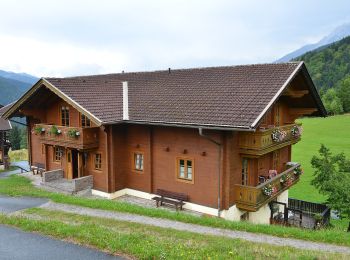
![Excursión A pie Lesachtal - AT-17 - Photo](https://media.geolcdn.com/t/350/260/aae3d19f-ea41-4c3c-8742-69a0c5c6cf5e.jpeg&format=jpg&maxdim=2)
![A pie A pie](https://static1.geolcdn.com/sitytour/trail-icons/100.png)
Km
A pie
![](/images/other/stat-length.png)
![](https://static1.geolcdn.com/siteimages/upload/files/1508320355ic_sort_den_pos_24dp.png)
![](https://static1.geolcdn.com/siteimages/upload/files/1508320355ic_sort_den_neg_24dp.png)
![](https://static1.geolcdn.com/siteimages/upload/files/16400158638029165_repeat_loop_refresh_sync_direction_icon.png)
![Excursión A pie Kötschach-Mauthen - Wanderweg Frondell Alm - Photo](https://media.geolcdn.com/t/350/260/e3cf1b96-0793-4dc5-a24c-0a68225ffe96.jpeg&format=jpg&maxdim=2)
![A pie A pie](https://static1.geolcdn.com/sitytour/trail-icons/100.png)
Km
A pie
![](/images/other/stat-length.png)
![](https://static1.geolcdn.com/siteimages/upload/files/1508320355ic_sort_den_pos_24dp.png)
![](https://static1.geolcdn.com/siteimages/upload/files/1508320355ic_sort_den_neg_24dp.png)
![](https://static1.geolcdn.com/siteimages/upload/files/16400158638029165_repeat_loop_refresh_sync_direction_icon.png)
8 excursiones mostradas en 8
Aplicación GPS de excursión GRATIS