![](/images/other/stat-length.png)
- Excursiones
- A pie
- Austria
- Baja Austria
- Bezirk Korneuburg
Bezirk Korneuburg, Baja Austria, A pie: Los mejores itinerarios de excursión, recorridos, paseos y sendas
Bezirk Korneuburg: Descubra las mejores excursiones: 13 a pie. Todos estos circuitos, recorridos, itinerarios y actividades al aire libre están disponibles en nuestras aplicaciones SityTrail para smartphone y tablet.
Los mejores recorridos (13)
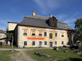
![Excursión A pie Gemeinde Hausleiten - Erlebnisweg](https://media.geolcdn.com/t/350/260/c80dad5b-eb46-4fa0-982f-f60cfd0933cf.jpeg&format=jpg&maxdim=2)
![A pie A pie](https://static1.geolcdn.com/sitytour/trail-icons/100.png)
Km
A pie
![](/images/other/stat-length.png)
![](https://static1.geolcdn.com/siteimages/upload/files/1508320355ic_sort_den_pos_24dp.png)
![](https://static1.geolcdn.com/siteimages/upload/files/1508320355ic_sort_den_neg_24dp.png)
![](https://static1.geolcdn.com/siteimages/upload/files/16400158638029165_repeat_loop_refresh_sync_direction_icon.png)
• Trail created by Verein "Kultur verbindet Hausleiten".
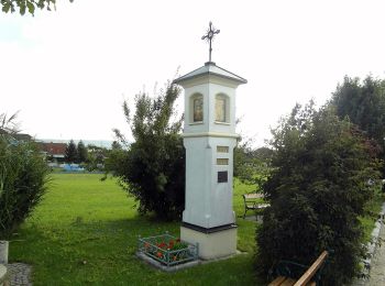
![Excursión A pie Gemeinde Stetten - Bibelweg Stetten-Harmannsdorf Fußweg - Photo](https://media.geolcdn.com/t/350/260/8236bca5-414f-41c2-90b8-fbf110dac8cb.jpeg&format=jpg&maxdim=2)
![A pie A pie](https://static1.geolcdn.com/sitytour/trail-icons/100.png)
Km
A pie
![](/images/other/stat-length.png)
![](https://static1.geolcdn.com/siteimages/upload/files/1508320355ic_sort_den_pos_24dp.png)
![](https://static1.geolcdn.com/siteimages/upload/files/1508320355ic_sort_den_neg_24dp.png)
![](https://static1.geolcdn.com/siteimages/upload/files/16400158638029165_repeat_loop_refresh_sync_direction_icon.png)
• Trail created by Bibelweg Stetten-Harmannsdorf.
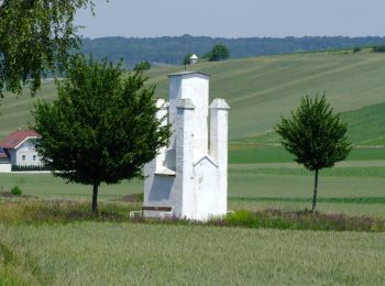
![Excursión A pie Gemeinde Großmugl - Ottendorfer Weidenwiesenweg - Photo](https://media.geolcdn.com/t/350/260/1999a126-8af1-4d02-851f-3d0084edb82e.jpeg&format=jpg&maxdim=2)
![A pie A pie](https://static1.geolcdn.com/sitytour/trail-icons/100.png)
Km
A pie
![](/images/other/stat-length.png)
![](https://static1.geolcdn.com/siteimages/upload/files/1508320355ic_sort_den_pos_24dp.png)
![](https://static1.geolcdn.com/siteimages/upload/files/1508320355ic_sort_den_neg_24dp.png)
![](https://static1.geolcdn.com/siteimages/upload/files/16400158638029165_repeat_loop_refresh_sync_direction_icon.png)
• Trail created by Marktgemeinde Großmugl. Symbol: weiß-blau-weiß waagrecht
![Excursión A pie Gemeinde Großmugl - Herzogbirbaumer Andachtsweg - Photo](https://media.geolcdn.com/t/350/260/829b037d-8076-411a-a3e0-5125b641c9d7.jpeg&format=jpg&maxdim=2)
![A pie A pie](https://static1.geolcdn.com/sitytour/trail-icons/100.png)
Km
A pie
![](/images/other/stat-length.png)
![](https://static1.geolcdn.com/siteimages/upload/files/1508320355ic_sort_den_pos_24dp.png)
![](https://static1.geolcdn.com/siteimages/upload/files/1508320355ic_sort_den_neg_24dp.png)
![](https://static1.geolcdn.com/siteimages/upload/files/16400158638029165_repeat_loop_refresh_sync_direction_icon.png)
• Trail created by Marktgemeinde Großmugl. Symbol: weiß-blau-weiß waagrecht
![Excursión A pie Gemeinde Großmugl - Steinabrunner Weinbergweg - Photo](https://media.geolcdn.com/t/350/260/9a0864da-3205-45b0-bd56-6e25449fd9f9.jpeg&format=jpg&maxdim=2)
![A pie A pie](https://static1.geolcdn.com/sitytour/trail-icons/100.png)
Km
A pie
![](/images/other/stat-length.png)
![](https://static1.geolcdn.com/siteimages/upload/files/1508320355ic_sort_den_pos_24dp.png)
![](https://static1.geolcdn.com/siteimages/upload/files/1508320355ic_sort_den_neg_24dp.png)
![](https://static1.geolcdn.com/siteimages/upload/files/16400158638029165_repeat_loop_refresh_sync_direction_icon.png)
• Trail created by Marktgemeinde Großmugl. Symbol: weiß-gelb-weiß waagrecht
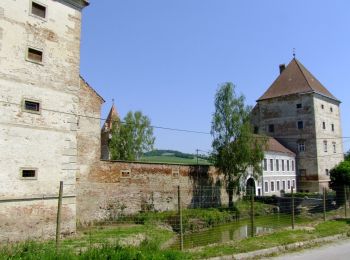
![Excursión A pie Gemeinde Großmugl - Füllersdorfer Waldweg - Photo](https://media.geolcdn.com/t/350/260/0acd14a4-76b5-4dee-a864-e2bff998cc45.jpeg&format=jpg&maxdim=2)
![A pie A pie](https://static1.geolcdn.com/sitytour/trail-icons/100.png)
Km
A pie
![](/images/other/stat-length.png)
![](https://static1.geolcdn.com/siteimages/upload/files/1508320355ic_sort_den_pos_24dp.png)
![](https://static1.geolcdn.com/siteimages/upload/files/1508320355ic_sort_den_neg_24dp.png)
![](https://static1.geolcdn.com/siteimages/upload/files/16400158638029165_repeat_loop_refresh_sync_direction_icon.png)
• Trail created by Marktgemeinde Großmugl. Symbol: weiß-grün-weiß waagrecht
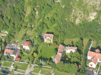
![Excursión A pie Langenzersdorf - Tuttendörflweg - Photo](https://media.geolcdn.com/t/350/260/ed766d0f-a3e6-4157-b245-30521be79c25.jpeg&format=jpg&maxdim=2)
![A pie A pie](https://static1.geolcdn.com/sitytour/trail-icons/100.png)
Km
A pie
![](/images/other/stat-length.png)
![](https://static1.geolcdn.com/siteimages/upload/files/1508320355ic_sort_den_pos_24dp.png)
![](https://static1.geolcdn.com/siteimages/upload/files/1508320355ic_sort_den_neg_24dp.png)
![](https://static1.geolcdn.com/siteimages/upload/files/16400158638029165_repeat_loop_refresh_sync_direction_icon.png)
• Symbol: weiß-grün-weiß
![Excursión A pie Langenzersdorf - Korneuburger R.W.W - Photo](https://media.geolcdn.com/t/350/260/2d0fe157-963f-4666-98fc-d95bb07dd38a.jpeg&format=jpg&maxdim=2)
![A pie A pie](https://static1.geolcdn.com/sitytour/trail-icons/100.png)
Km
A pie
![](/images/other/stat-length.png)
![](https://static1.geolcdn.com/siteimages/upload/files/1508320355ic_sort_den_pos_24dp.png)
![](https://static1.geolcdn.com/siteimages/upload/files/1508320355ic_sort_den_neg_24dp.png)
![](https://static1.geolcdn.com/siteimages/upload/files/16400158638029165_repeat_loop_refresh_sync_direction_icon.png)
• Symbol: blue yellow blue
![Excursión A pie Langenzersdorf - Kaspar-Schrammel-Wanderweg - Photo](https://media.geolcdn.com/t/350/260/7f35d376-34b9-4eb0-9a28-bc396d808085.jpeg&format=jpg&maxdim=2)
![A pie A pie](https://static1.geolcdn.com/sitytour/trail-icons/100.png)
Km
A pie
![](/images/other/stat-length.png)
![](https://static1.geolcdn.com/siteimages/upload/files/1508320355ic_sort_den_pos_24dp.png)
![](https://static1.geolcdn.com/siteimages/upload/files/1508320355ic_sort_den_neg_24dp.png)
![](https://static1.geolcdn.com/siteimages/upload/files/16400158638029165_repeat_loop_refresh_sync_direction_icon.png)
• Symbol: red white green
![Excursión A pie Gemeinde Ernstbrunn - Ernsti Wanderweg - Photo](https://media.geolcdn.com/t/350/260/3ba652fb-995e-4e7a-a4fc-5d466c3036d2.jpeg&format=jpg&maxdim=2)
![A pie A pie](https://static1.geolcdn.com/sitytour/trail-icons/100.png)
Km
A pie
![](/images/other/stat-length.png)
![](https://static1.geolcdn.com/siteimages/upload/files/1508320355ic_sort_den_pos_24dp.png)
![](https://static1.geolcdn.com/siteimages/upload/files/1508320355ic_sort_den_neg_24dp.png)
![](https://static1.geolcdn.com/siteimages/upload/files/16400158638029165_repeat_loop_refresh_sync_direction_icon.png)
• Offizielle Homepage der Marktgemeinde Ernstbrunn. Sitio web: http://www.ernstbrunn.gv.at/system/web/gelbeseite.aspx?...
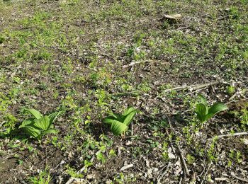
![Excursión A pie Gemeinde Großmugl - Großmugler Panoramaweg - Photo](https://media.geolcdn.com/t/350/260/4ee5d6e1-fc49-4eef-bf0b-e1969b9f0edd.jpeg&format=jpg&maxdim=2)
![A pie A pie](https://static1.geolcdn.com/sitytour/trail-icons/100.png)
Km
A pie
![](/images/other/stat-length.png)
![](https://static1.geolcdn.com/siteimages/upload/files/1508320355ic_sort_den_pos_24dp.png)
![](https://static1.geolcdn.com/siteimages/upload/files/1508320355ic_sort_den_neg_24dp.png)
![](https://static1.geolcdn.com/siteimages/upload/files/16400158638029165_repeat_loop_refresh_sync_direction_icon.png)
• Trail created by Marktgemeinde Großmugl. Symbol: weiß-rot-weiß waagrecht
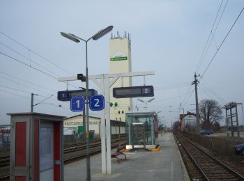
![Excursión A pie Gemeinde Gerasdorf bei Wien - Gerasdorfer Rundwanderweg - Photo](https://media.geolcdn.com/t/350/260/629e8371-9fd1-47c3-9a52-e06cea0cb667.jpeg&format=jpg&maxdim=2)
![A pie A pie](https://static1.geolcdn.com/sitytour/trail-icons/100.png)
Km
A pie
![](/images/other/stat-length.png)
![](https://static1.geolcdn.com/siteimages/upload/files/1508320355ic_sort_den_pos_24dp.png)
![](https://static1.geolcdn.com/siteimages/upload/files/1508320355ic_sort_den_neg_24dp.png)
![](https://static1.geolcdn.com/siteimages/upload/files/16400158638029165_repeat_loop_refresh_sync_direction_icon.png)
![Excursión A pie Langenzersdorf - Bisamberg-Rundwanderweg - Photo](https://media.geolcdn.com/t/350/260/65529f66-4215-49de-bbcf-3ca620ea5139.jpeg&format=jpg&maxdim=2)
![A pie A pie](https://static1.geolcdn.com/sitytour/trail-icons/100.png)
Km
A pie
![](/images/other/stat-length.png)
![](https://static1.geolcdn.com/siteimages/upload/files/1508320355ic_sort_den_pos_24dp.png)
![](https://static1.geolcdn.com/siteimages/upload/files/1508320355ic_sort_den_neg_24dp.png)
![](https://static1.geolcdn.com/siteimages/upload/files/16400158638029165_repeat_loop_refresh_sync_direction_icon.png)
13 excursiones mostradas en 13
Aplicación GPS de excursión GRATIS